|
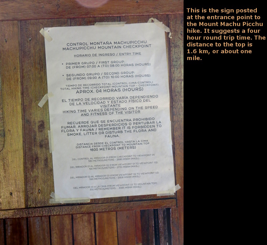
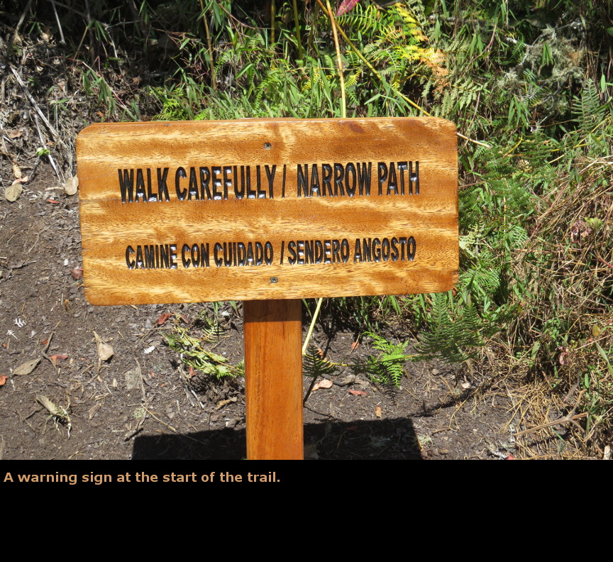
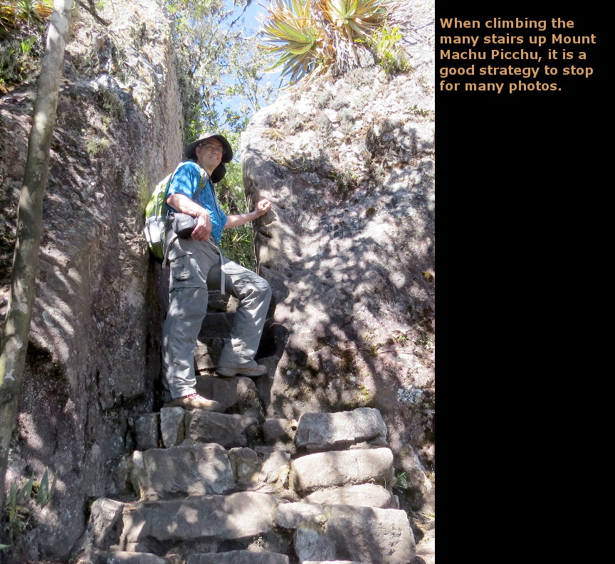
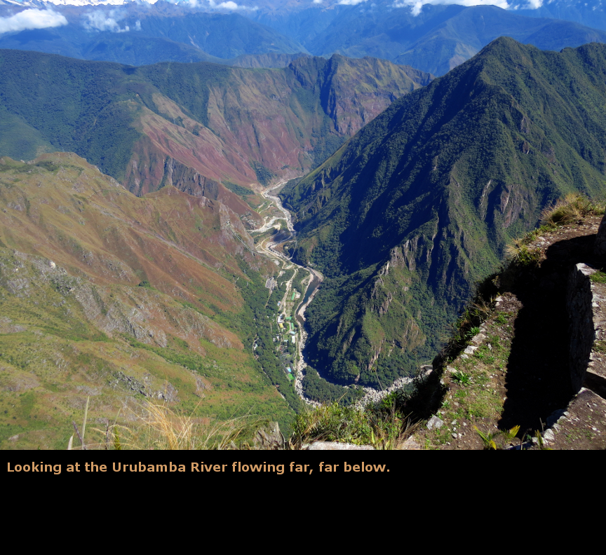
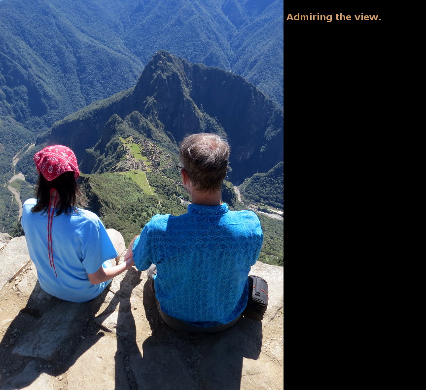
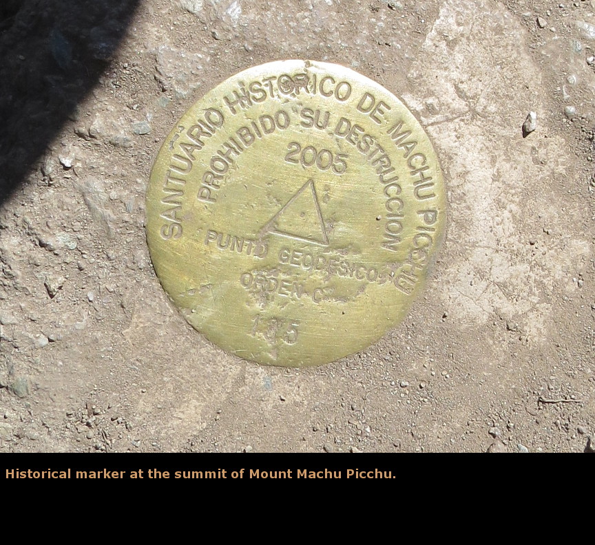
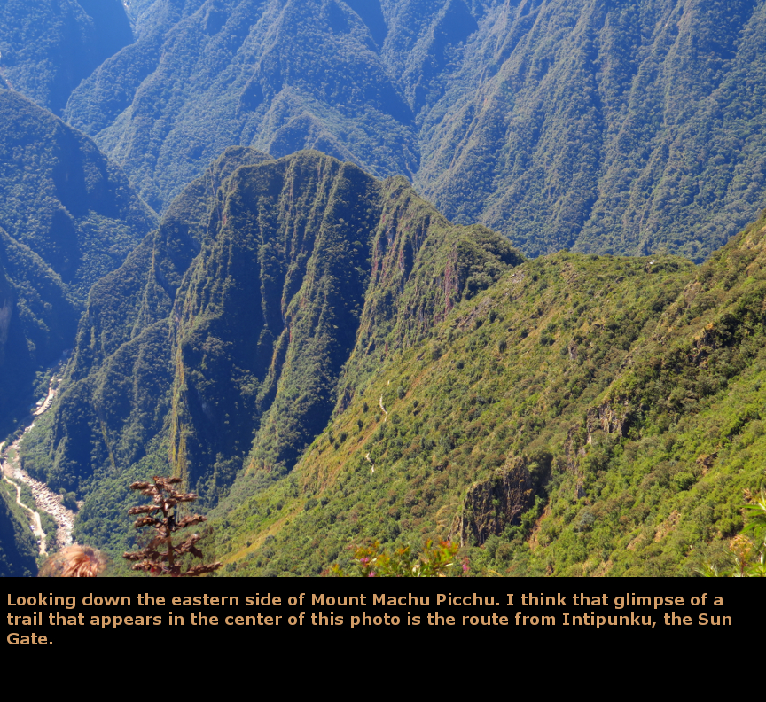
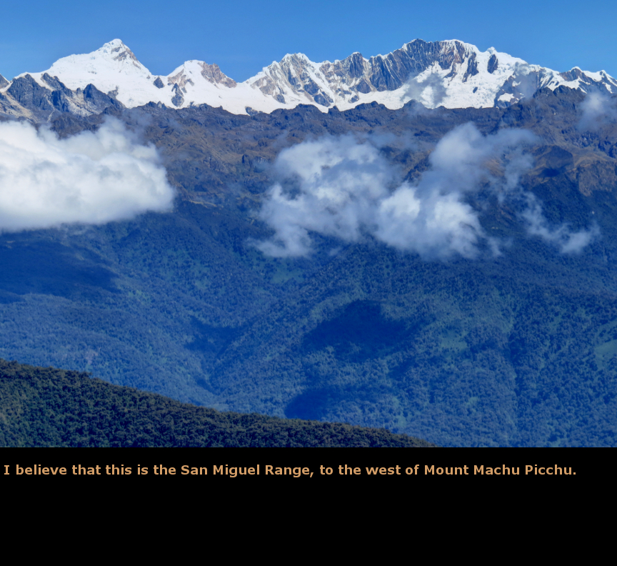
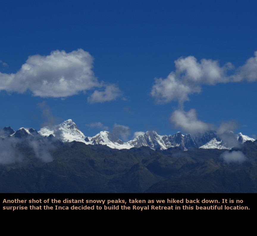
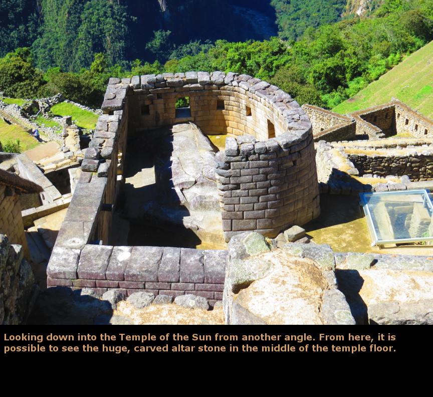
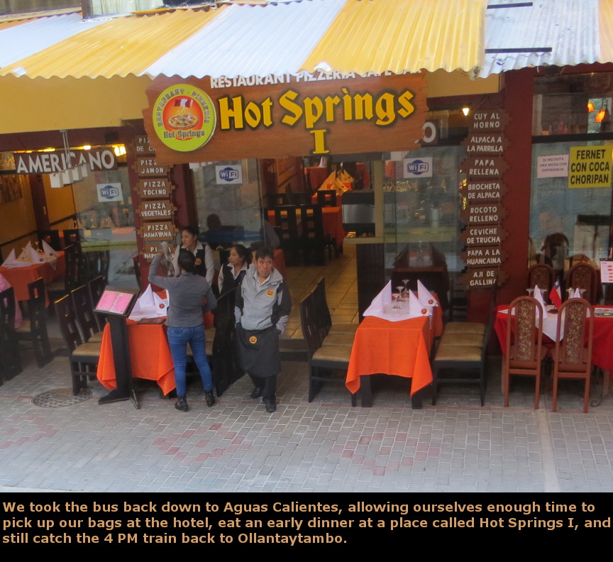
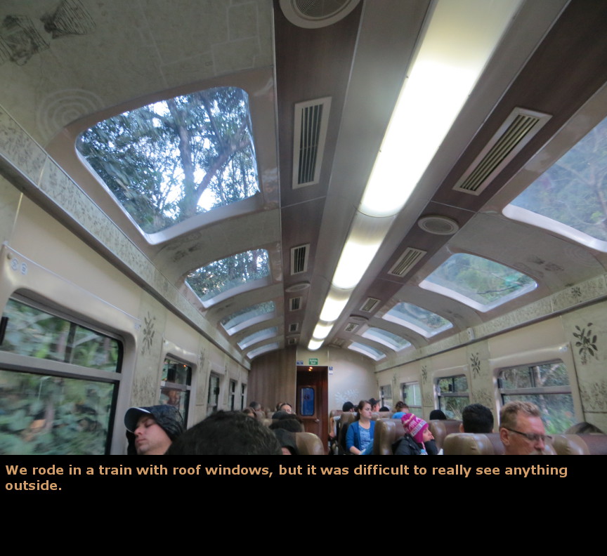
Today was our second day at Machu Picchu, and it was a glorious day for visiting. We caught an early bus up to the ruins, and walked through the site. Once again we used the guide book, retracing our steps from yesterday to see the major features - the Temple of the Sun, Street of Fountains, Sacred Plaza, Intihuatana and Sacred Rock. I took a whole bunch more photos, of course. It was a lot of fun for me just being at Machu Picchu and walking around. The terraces and buildings are impressive. I never stopped being impressed how the Incas moved those gigantic stones and built them into such perfect walls. Peru is part of the Pacific Rim of Fire, so it suffers from numerous earthquakes. The Spanish colonial buildings have all collapsed multiple times, yet the buildings erected by a Stone Age culture endure. Just like Huayna Picchu, the number of climbers each day on Mount Machu Picchu is limited to 200 people. This is because the long climb is narrow steps, and they don't want tourists falling off of the trail - it wouldn't make great headlines if tourists were routinely dying at Machu Picchu. (This is also why tourists can no longer climb the steps of the pyramid at Chichen Itza - a tourist died falling down the steep steps of the temple pyramid). Our tickets said we could begin hiking at 10:00 AM. This was an ideal start time - the clouds were all gone, but the day was not too hot yet. The trail to the summit of Mount Machu Picchu is an endless series of stairs. It is a long way up. I noticed that we were passing a lot of the other hikers, but there was one group of youngsters who were keeping pace with us. Our strategy was to climb up a series of steps, and then take a break, gasping for breath. But these youngsters were steady climbers - we would zip past them, and then, as we rested by the side of the trail, they came hiking right past us again. It was a classic tourist vs the hare strategy. We "won" only because they stopped for a long break. It took us an hour and 15 minutes to reach the top, so we certainly did not set any world records on our hike up. The Mount Machu Picchu website says that it takes an hour and a half to complete the climb. I happened to meet one of those youngsters when we were climbing back down, and he told me that he lived in Colorado Springs, and ran cross country for his high school team. He told us that Colorado Springs is where US Olympic athletes come to train because of the high altitude. No wonder his party seemed to have no trouble climbing all those stairs - they were used to the altitude! It was a bright sunny day, so our time at the summit of Mount Machu Picchu was wonderful. The ruins looked so tiny down below us. The top of Mount Machu Picchu is at 10,040 feet, while Machu Picchu's altitude is officially listed at 7980', so we were a good deal higher than the main site. Even Huayna Picchu (8860 feet in elevation), which had seemed like such a tough climb the day before, looked to be far below us today. The Inca, of course, had been to the summit of Mount Machu Picchu. There was a circular stone platform at the top, where the Inca held their ceremonies. It certainly was a spectacular setting. We spent a good deal of time at the top, taking photos and talking to the other hikers. The hike back down, of course, was much easier. We had some time to walk through the ruins a little bit more, but this day it was our turn to get in the long lines for the bus back down to Aguas Calientes in time to catch the train. We allowed ourselves enough time to get an early dinner (pizza again!) and pick up our bags from the hotel. The train back to Ollantaytambo seemed slow, it was pitch black by the time we arrived at the station. We met up with the hikers from the Alpaca Expeditions who had done the Inca Trail one day later than us (but they spent just the one day at Machu Picchu). We all piled into Alpaca Expedition vans and rode two hours back to Cuzco. We checked back into our hotel in Cuzco, and went to bed. What a fantastic day!. Panorama Photos


MapsThis map shows how Machu Picchu was built on a ridge between two mountains (Huayna Picchu and Mount Machu Picchu) that have an almost perfect North to South alignment
This map shows the ruins of Machu Picchu. I have labeled the most significant buildings.
VideosIf you do not see the videos, but instead see a message that says: "Error: Video playback aborted" it is possible that the content is being blocked by your web browser. You may see a message at the top or bottom of your page that says "restricted webpage from running scripts or ActiveX controls". If you see that message, click on the ALLOW BLOCKED CONTENT box and that should allow these videos to run.
To display the photo images on this webpage, I am using a freely distributed java script called Lightbox v2.7.1 written by Lokesh Dhakar. You can download this program by clicking on this link. All the text and photographs on this webpage are my own creation, but the textured background is taken from a site, EOS development, that offers non-profit users free use of their graphics. Click the icon below to visit their site.
|
Click on any thumbnail to begin the slide show at that photograph Day 9 Photos


|