|
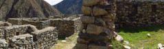
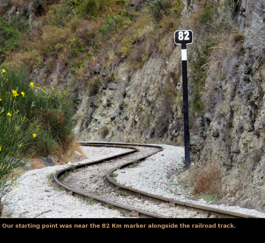
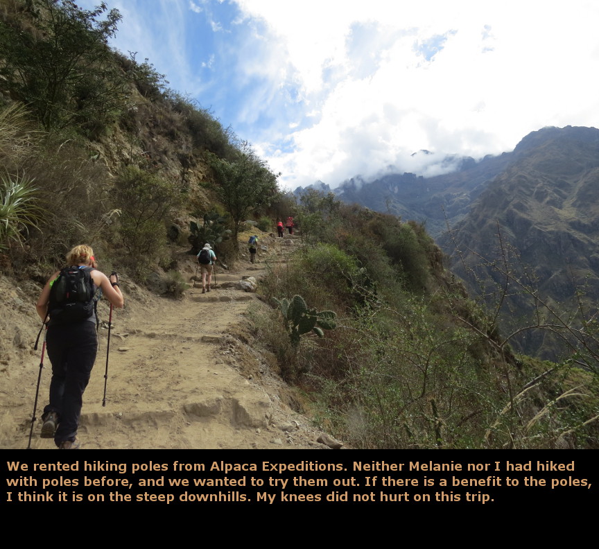
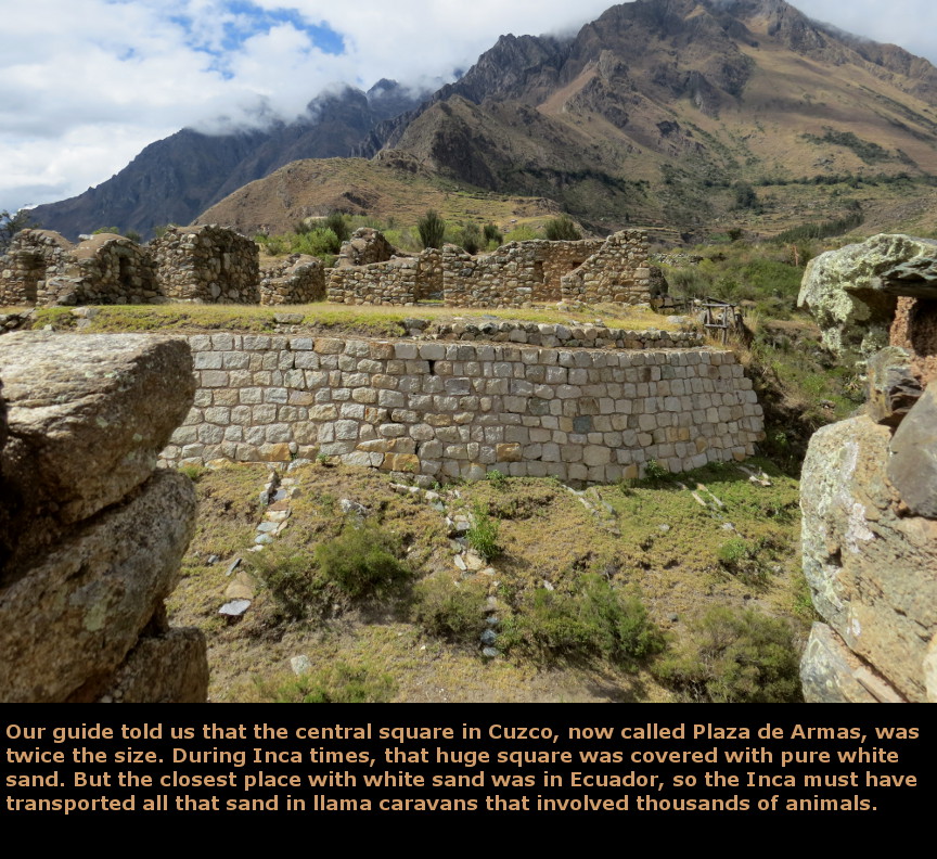
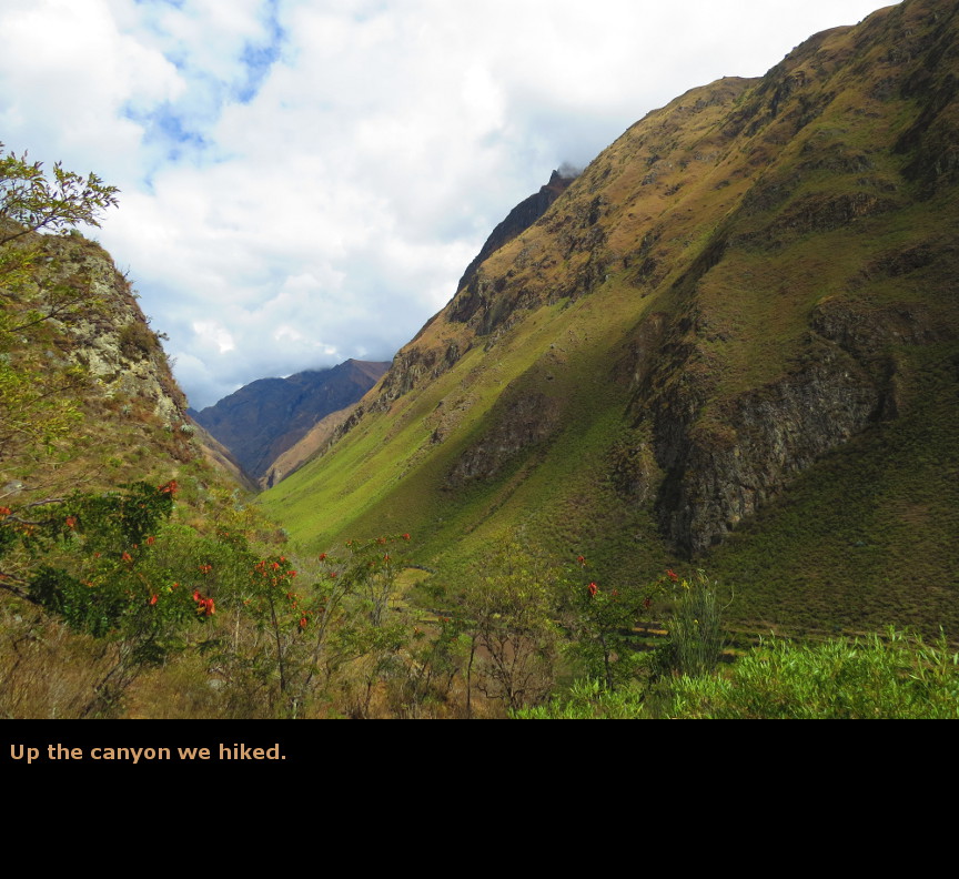
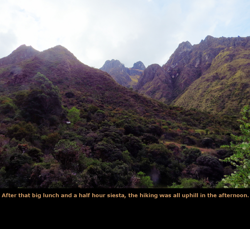
Today was an exciting day - it was the first day of our hike along the Inca Trail. This is a special experience, and I am glad we signed with a tour provider like Alpaca Expeditions, which runs a great trip. We started very early - the van picked us up at 4:30 A.M. We rode all the way out to Ollantaytambo, the town we had just stayed at on the day before. If I had understood the Sacred Valley geography better when planning the trip, perhaps I could have arranged for us to stay in Ollantaytambo after our Sacred Valley tour, and then begin our Inca Trail hike from there. The start of the "classic" Inca Trail route is at the 82 KM mark of the railroad, which is just beyond Ollantaytambo. Before we started hiking, Alpaca Expeditions cooked up a nice breakfast for us. They told us at the end of our hike that the chef on our hike was an award winning cook. He certainly demonstrated an amazing ability to cook up huge amounts of tasty dishes using just a propane burner. Unfortunately, neither the cook nor the porters spoke any English, so we never really interacted with them beyond smiles and gestures. At breakfast we met the other four hikers on our expedition: Louise and Gordon were from Scotland, Jess and David were from Australia. They proved to be excellent hiking companions, friendly and interesting. They certainly were good hikers, especially the Australians, who typically hiked on ahead of us. Originally, there was supposed to be a fourth couple on our tour, but they cancelled at the last minute. After breakfast, we stopped at the passport checkpoint that guards access to the Inca Trail. Only a limited number of hikers are permitted to start on the trail each day, this keeps erosion down and enhances the experience (the trail is not overcrowded with hikers). The checkpoint also weighs the bags of the porters to be sure than none of them are carrying more than 55 lbs. After the checkpoint, we crossed over the Urubamba River on a modern bridge and took our first steps along the Inca Trail. Valentine was our guide. He pointed out various plants along the route, and explained details of Incan and Peruvian culture. Becoming a guide in Peru is a big achievement. To become an accredited guide, they must study for five years at the university level. A guide must be able to identify plants, animals, geography and constellations. A guide must have a thorough knowledge of Incan and Peruvian history, and must keep abreast of the latest archaeological discoveries, because guides are tested even after they get their license. And of course, a guide must speak fluent Spanish and English. Being a guide is a good career in Peru, tourism is a huge portion of the countries GDP - tourism is the third largest industry in Peru after mining and fishing. It is still rapidly growing, as Peru develops more of the country to attract people to more than Machu Picchu. I guess Peru wants to become the "Costa Rica" of South America. Certainly everyone we met was friendly and welcoming to us. We stopped our hike for a long break at the Inca ruins of Patallacta. This site has an upper and a lower section - the lower ruins were too far below us to be explored, but we could wander through the buildings of the upper level. Valentine gave us the first of his long talks about history here. I didn't make a note of everything he told us, but one thing I remember him saying is that the Inca Trail was a pilgrimage route for the Inca on their way to Machu Picchu. There was an easy trail that went alongside the Urubamba river - Valentine called that the commercial trail, it was meant for the transport of goods. But the Inca Trail we were on was a spiritual path. Machu Picchu was a religious center, Valentine compared it to the Vatican for the Catholic Church. The Inca Trail deliberately winds up high into the mountains so that the pilgrims can get close to the gods on their journey to Machu Picchu. When the Spanish came, the Inca obiliterated the trail so that Machu Picchu would never be found. Just outside Patallacta was a small pointy hill with an altar on the top. It was ideally situated for views up and down the Sacred Valley as well as the Cusichaca valley. I wish we could have walked up to that altar site. We ate a huge lunch at Hatun Chaca, and then spent about an hour lying around in the afternoon. Melanie got a nasty bug bite on her ankle here, but we don't know what it was that got her, because she didn't feel it when it happened. But it swelled up into an ugly bubble the size of a half dollar before it burst and drained. Fortunately, it didn't hamper her ability to continue hiking. After lunch, the hiking was all uphill. The porters had gone ahead of us on the trail, and were busy setting up the camp when we walked in. They all stood and applauded us for our achievement of successfully hiking the first day of the Inca Trail. It was a nice gesture, but also a little silly, because of course the porters had hiked much faster than us despite carrying their huge heavy packs. If anything, it should have been us who applauded the porters. Dinner was another amazing meal - the food on this trip was much better than I expected. This wasn't just freeze dried food reconstituted in hot water, but real dishes with meat and vegetables and rice. I saw one porter had a huge carton of fresh eggs in his pack. Late that night, I got out of the tent to use the restroom. I saw an astounding sight - the night was clear, and we were high in the mountains, miles from any town so there was zero light pollution. I went back to the tent and woke up Melanie, and she joined me outside. We stood there staring up at the Milky Way. The night was not cold, there was no wind, and the stars were amazing. I saw three shooting stars. Melanie pointed out many of the constellations (Peru is just south of the equator, so many of the northern and southern constellations are visible. I have seen the famous Southern Cross! Viewing the glorious Milky Way like this was truly one of the highlights for our entire Peru trip, it really was a great sight. Panorama Photos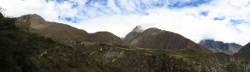

MapsThis profile map from Alpaca Expeditions shows the entire Inca Trail. In my guide book, the big ruins we saw today are called Patallacta, but Alpaca Expeditions calls those ruins Llactapata.
This is a map of the Inca Trail route as seen from above. I tried to label all the ruins and campgrounds.
To display the photo images on this webpage, I am using a freely distributed java script called Lightbox v2.7.1 written by Lokesh Dhakar. You can download this program by clicking on this link. All the text and photographs on this webpage are my own creation, but the textured background is taken from a site, EOS development, that offers non-profit users free use of their graphics. Click the icon below to visit their site.
|
Click on any thumbnail to begin the slide show at that photograph Day 5 Photos


|