|
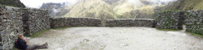
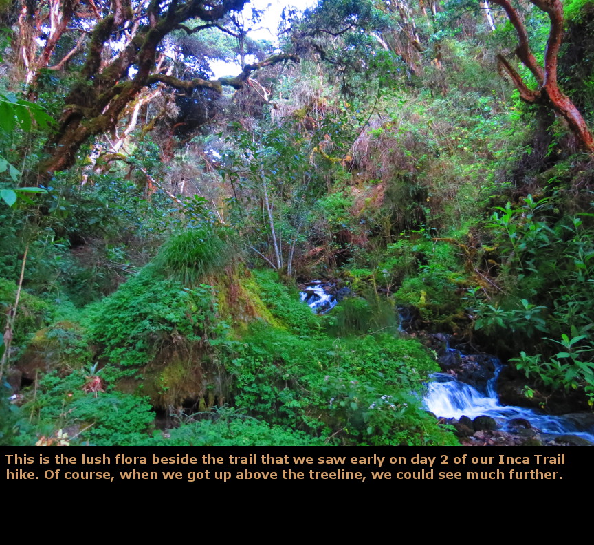
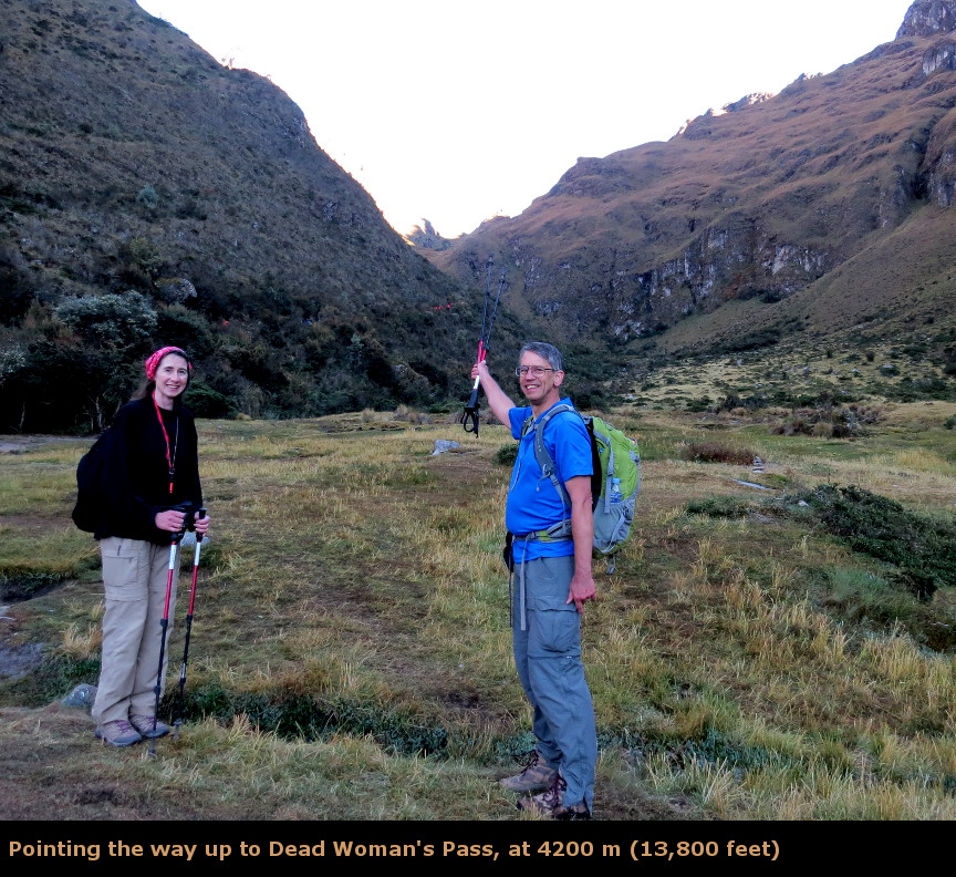
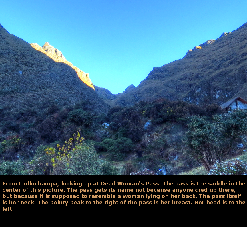
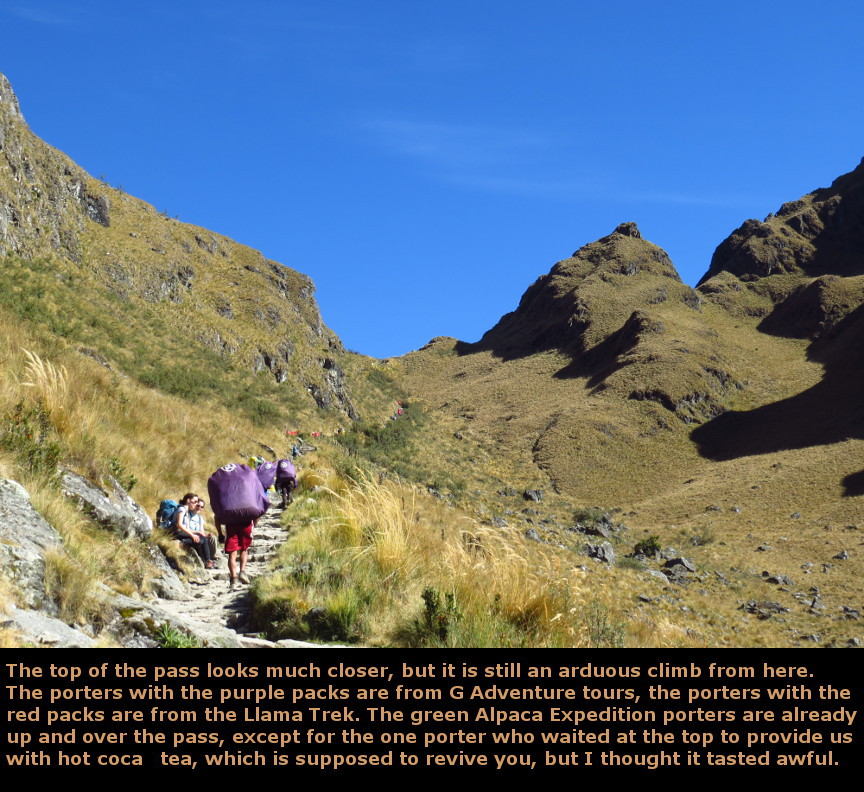
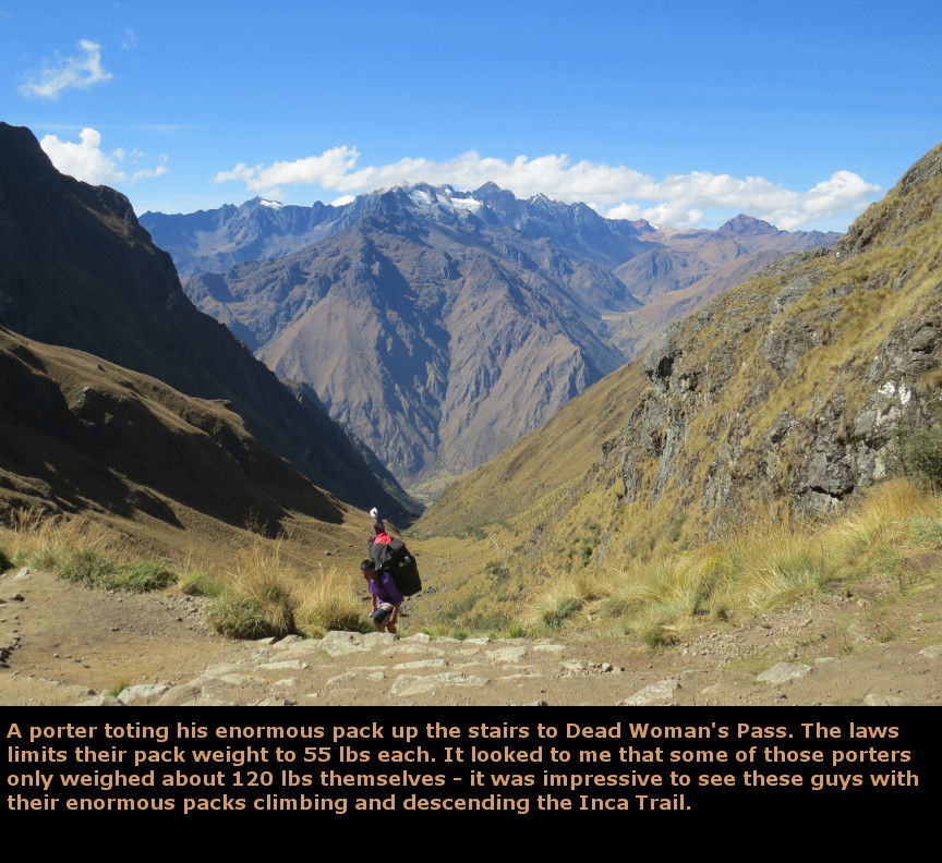
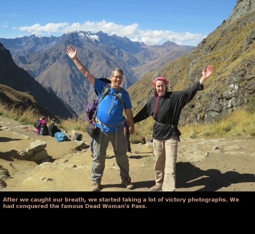
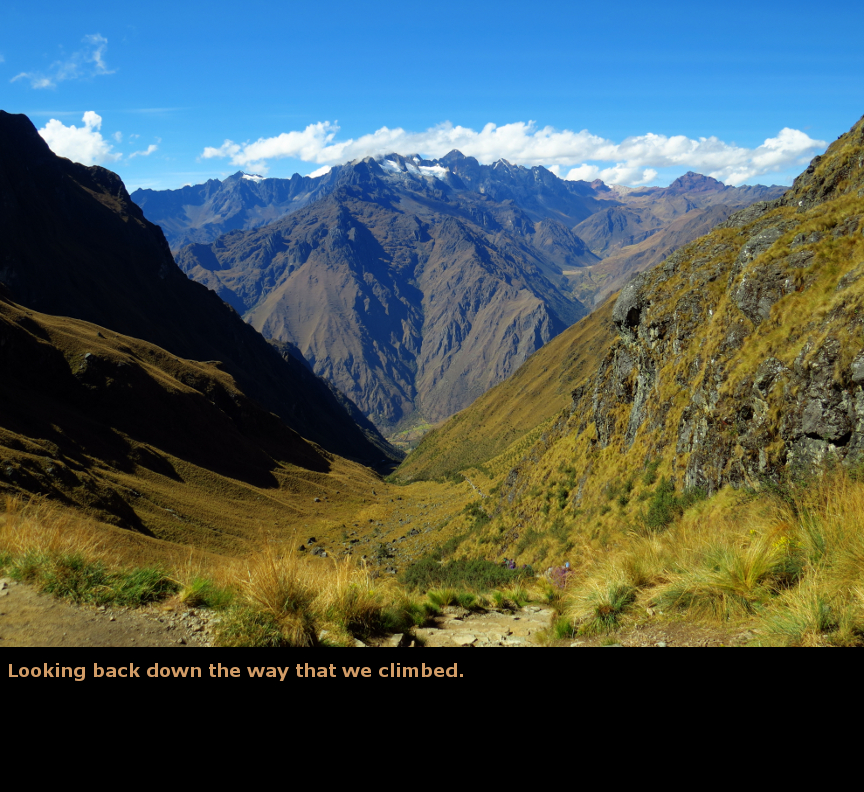
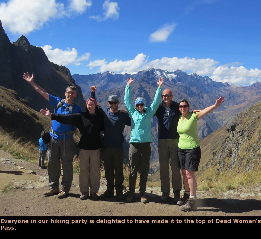
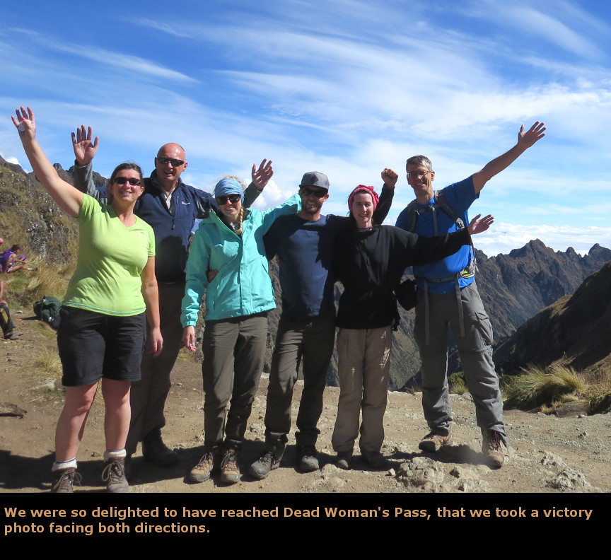
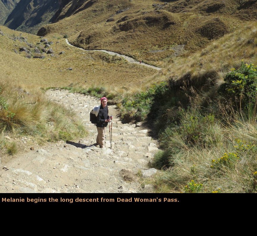
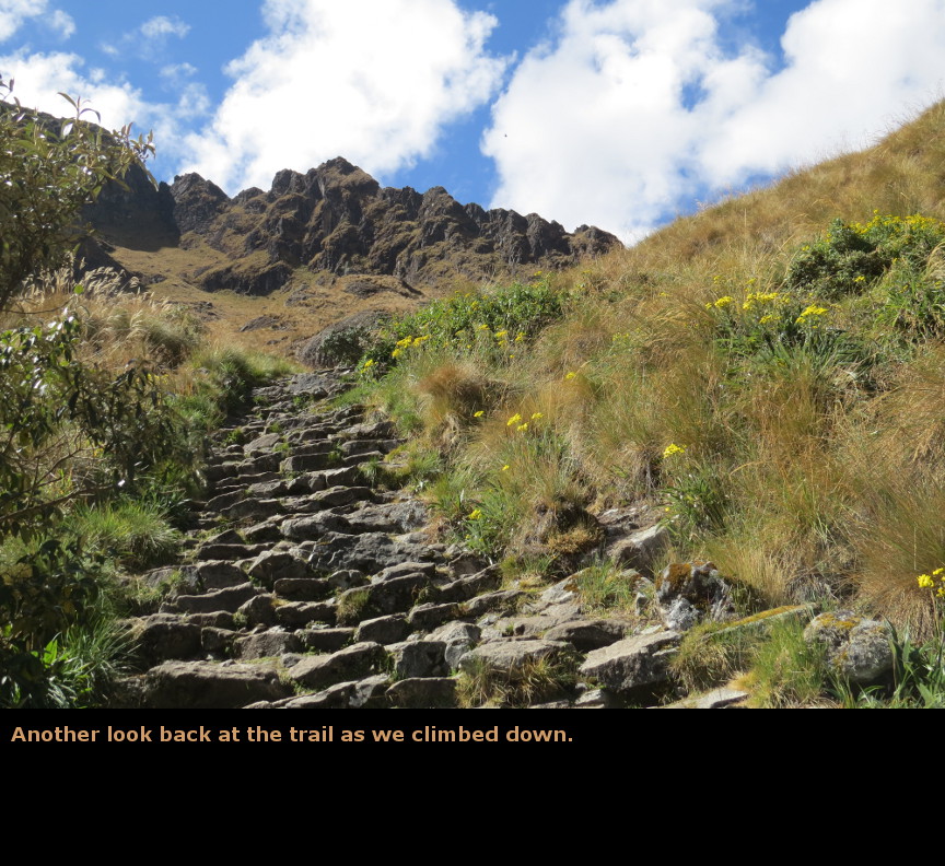
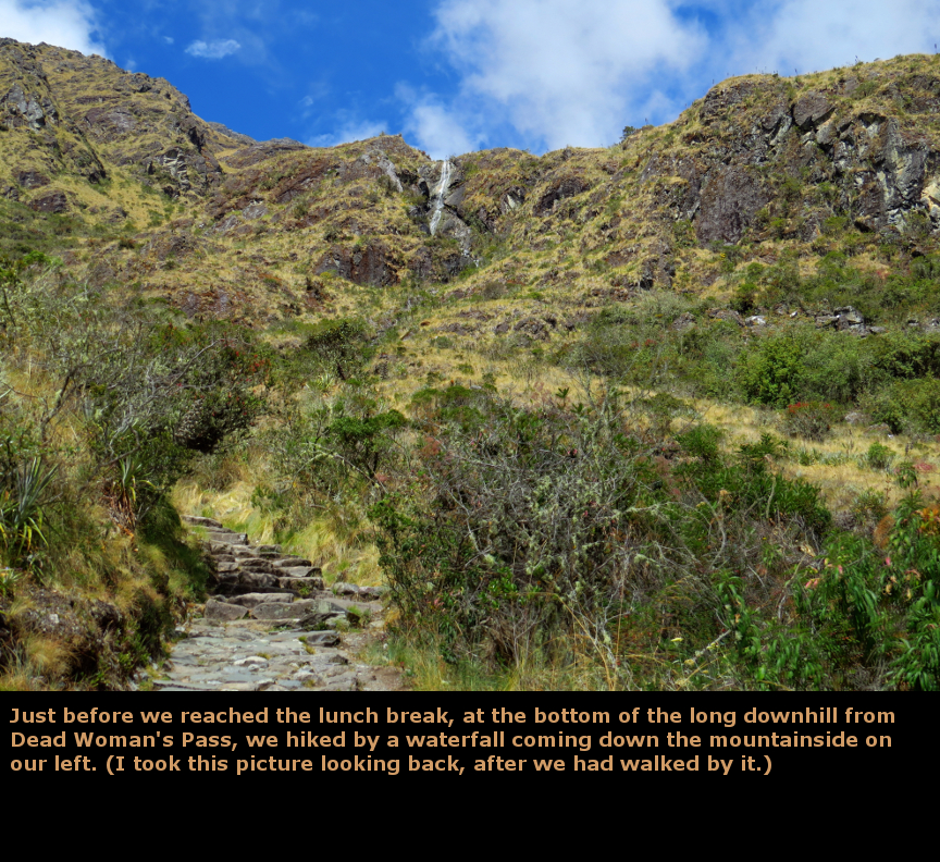
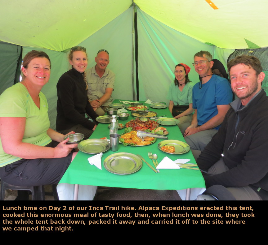
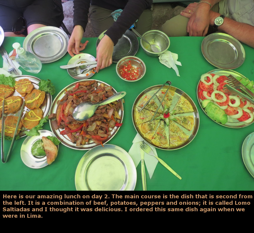
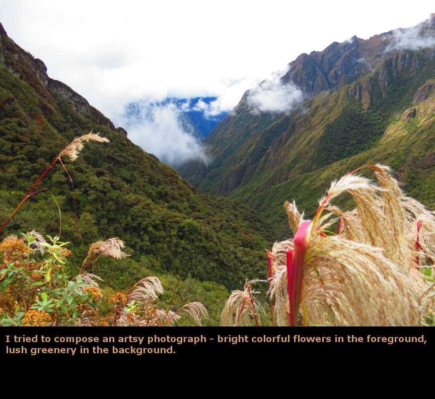
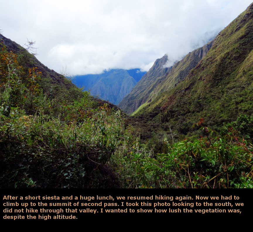
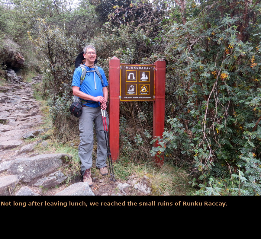
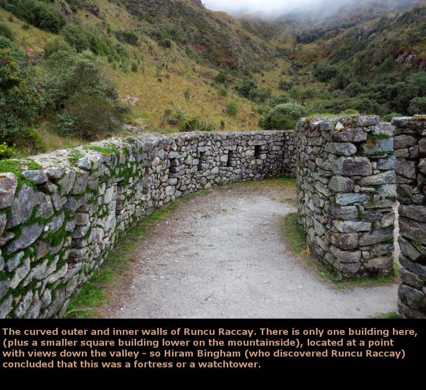
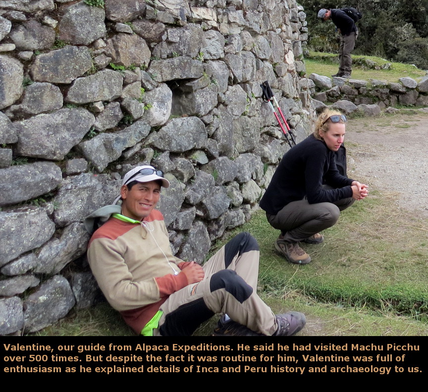
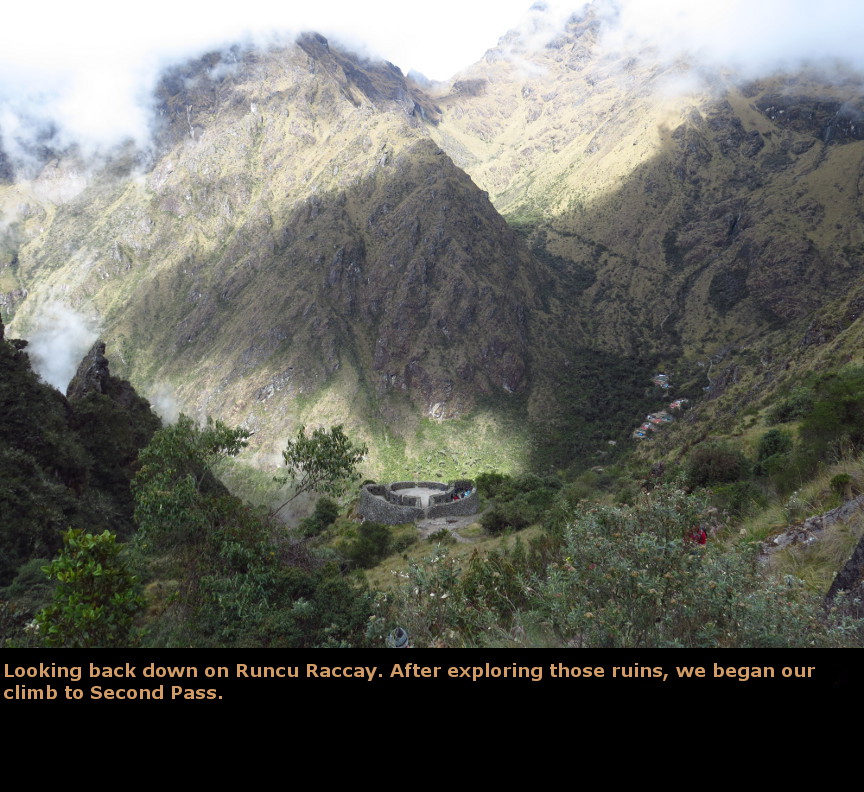
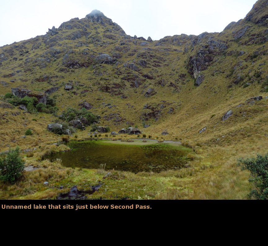
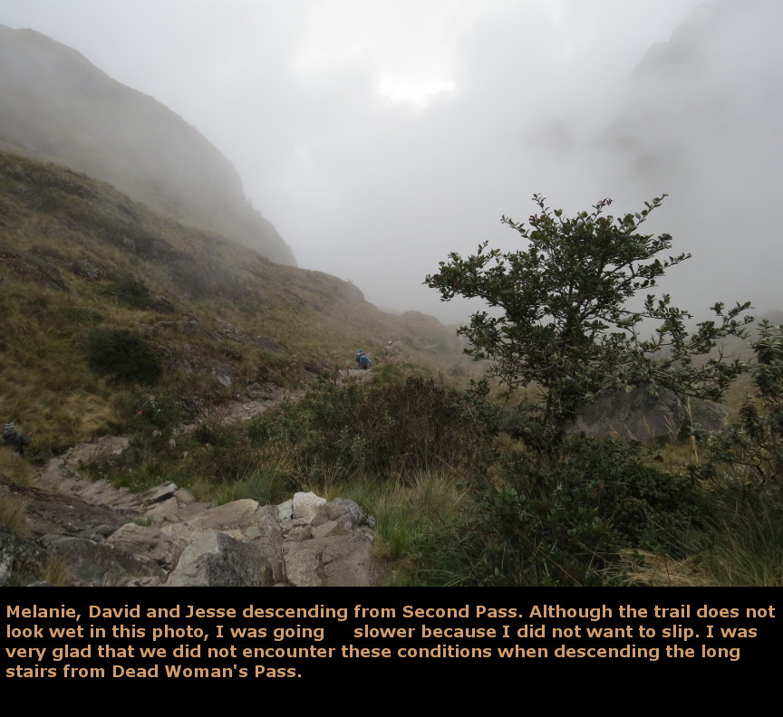
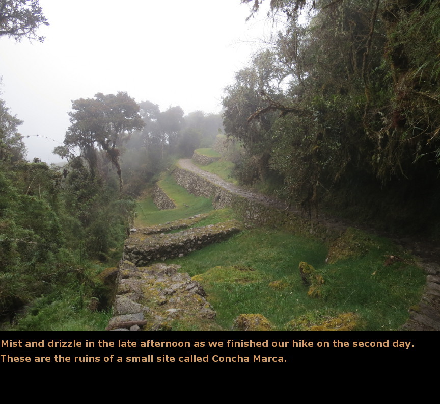
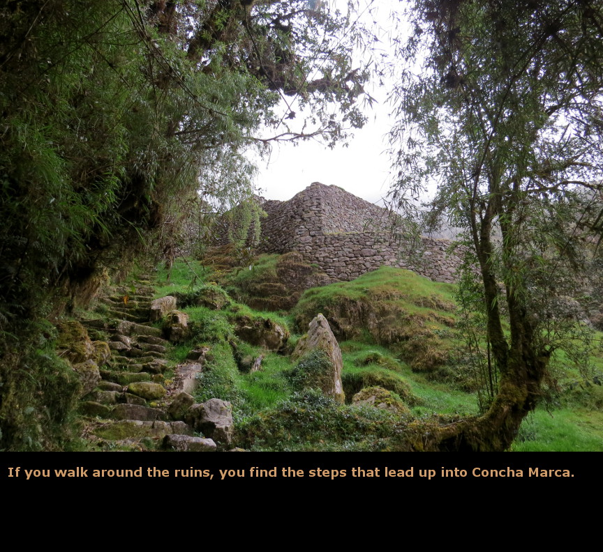
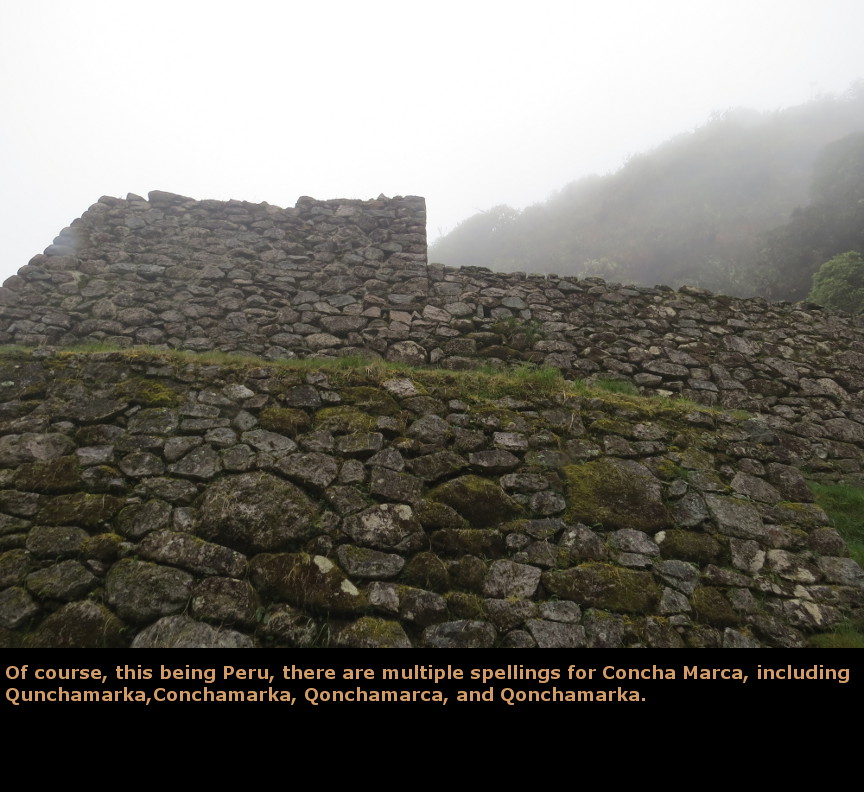
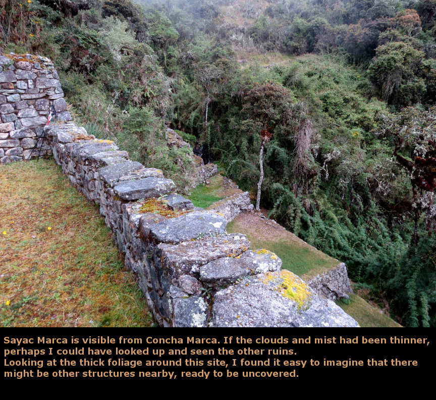
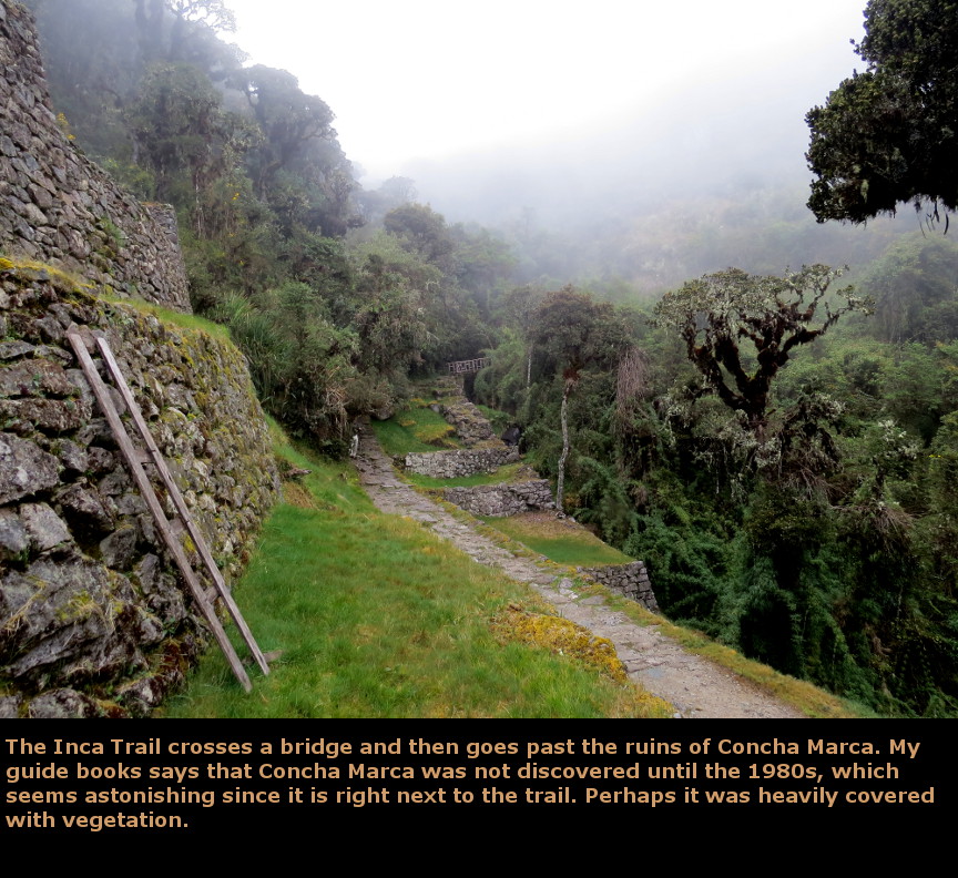
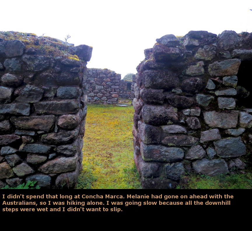
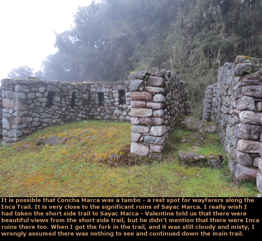
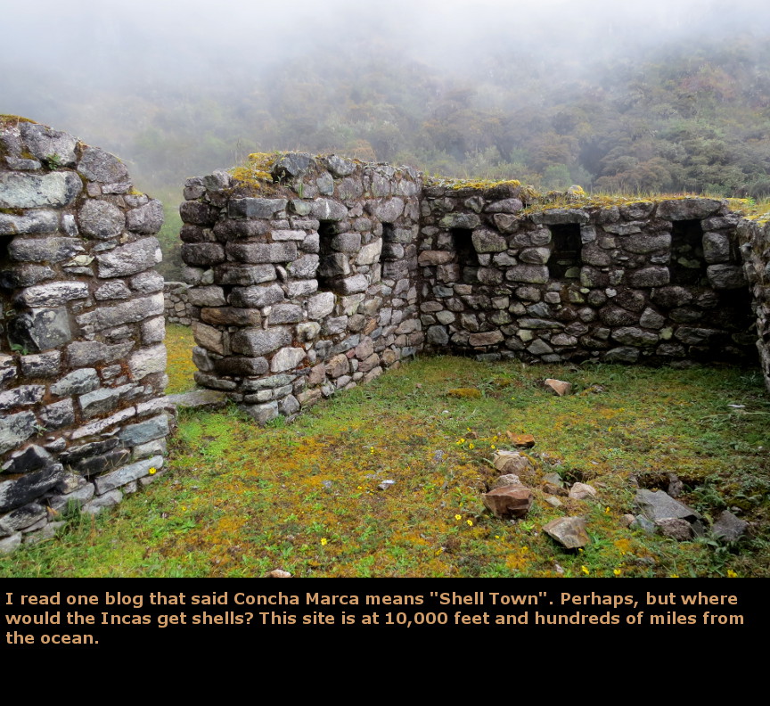
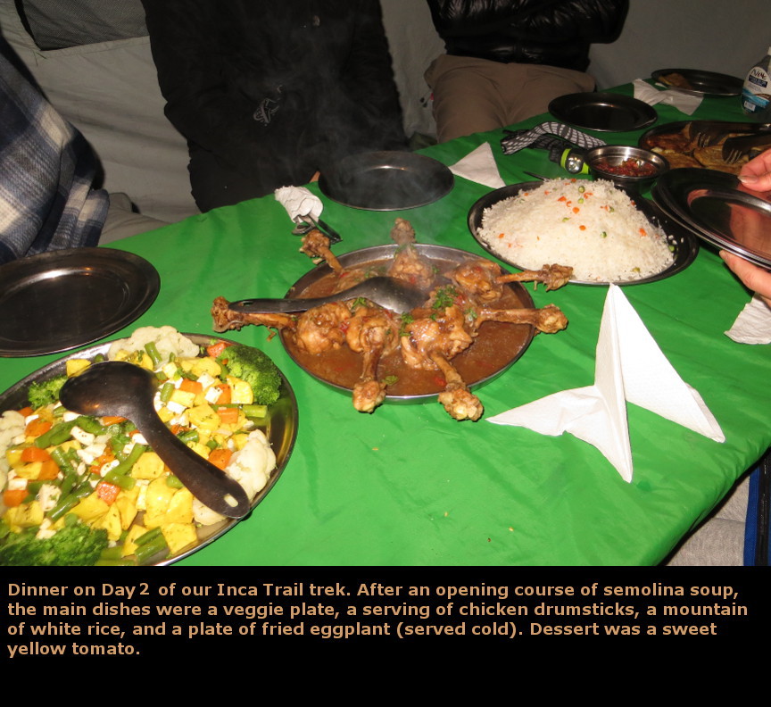
Today was the hard day of hiking. Alpaca Expeditions woke us up at 5 A.M. Hot porridge for breakfast, along with cold pancakes with fruit inside. There were wedges of bread with jam inside. After this enormous meal, we picked up our packs and were on the trail by 6:30 A.M. as the sky brightened around us. The sun didn't actually rise until much later because of the high peaks around us, so we did much of this stretch in the cool shade. I wasn't wearing gloves, so my hands got pretty cold. There are many steps. The trail climbs relentlessly. We were hiking up the famous Dead Woman's Pass (Abra de Huarmihuanusca), which has an elevation of 4200m. It is a long way up. It takes a while to get up there, the elevation really does have an effect. We had to pause frequently on our way up. Melanie said she felt a little dizzy when we were on the final stretch, so I walked right behind her, just in case she fell (but she was fine!) Of course, the porters marched right by us, carrying their giant packs and quickly disappeared up the trail. There is one big corner on the way up, from below, it appears that once you turn that corner you must be close to the top. Appearances are deceiving. The top of the pass is a good distance above that corner. Fortunately, the sun finally came out and we warmed up. And then we were there - on top of Dead Woman's Pass! We had done it. Our party regrouped for several victory photos. An adventure like this really builds a feeling of camaraderie among the party. Of course, it didn't hurt that they were such nice people. We had a good group. After a lot of pictures at the top, we started down. The stairs descending Dead Woman's Pass are endless and steep. We dropped 2600 feet in little over a mile of hiking - that's almost a 50% grade! Any steeper, and we would have been falling. I am very glad we hiked down that set of stairs in dry weather. At the bottom of the stairs is the tiny town of Pacamayo. Our porters had lunch set up, and we enjoyed another big meal and a mini-siesta. Many of the other hiking companies end Day 2 of their hike at Pacamayo, but that means Day 3 is a long trek. Alpaca Expeditions prefers to hike over Second Pass before setting up camp for Day 2, so after lunch we started up hill again. Just above Pacamayo are the small circular ruins of Runcu Raccay. Our party regrouped here, and Valentine gave us another talk about the history of the Inca. One of the famous stories is the "missing" gold from the Inca treasures. Despite the tremendous amount of gold and silver that the conquistadors looted from the Incas, there is supposed to be a vast horde that was successfully hidden from their rapacious grasp. This treasure (if it ever existed) has been successfully hidden by the Inca - no one has ever found it. The latest theory is that the Inca threw it all into a lake, so now treasure hunters are trying to scan the lake bottoms. After Runcu Raccay, we hiked all the way up to Second Pass. Again, our party regrouped, but this time we were too tired to take victory photographs. On the way down, we entered into clouds and drizzle. The trail became slick, and I slowed down a lot because I was afraid of slipping on the narrow steps. I had rented hiking poles from Alpaca Expeditions, and used them to brace myself as I stepped down - it was slow going. We passed the small ruins of Concha Marca, and spent a short amount of time walking through them. I did not know that nearby there was an impressive set of ruins called Sayac Marca. I was carrying a guide book that describe all the sites along the Inca Trail, yet some how I missed Sayac Marca. I guess I was just too tired and grumpy from the rain and clouds. Once again the Alpaca Expedition porters applauded when we reached the campsite; funny how such a simple gesture can mean so much. Another impressive dinner this night, and then everyone was glad to go right to bed. When I woke up this night, there were no stars, just clouds and rain. Panorama Photos


MapsThese are the same maps that I showed on the webpage of the previous page, I am reincluding them for convenience.
To display the photo images on this webpage, I am using a freely distributed java script called Lightbox v2.7.1 written by Lokesh Dhakar. You can download this program by clicking on this link. All the text and photographs on this webpage are my own creation, but the textured background is taken from a site, EOS development, that offers non-profit users free use of their graphics. Click the icon below to visit their site.
|
Click on any thumbnail to begin the slide show at that photograph Day 6 Photos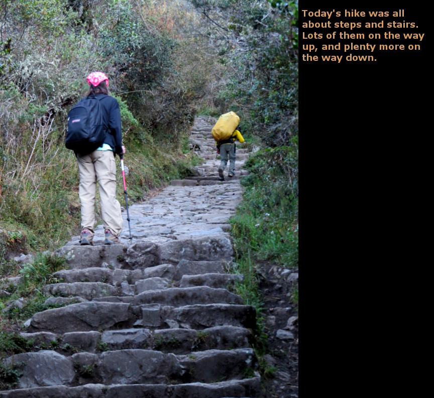


|