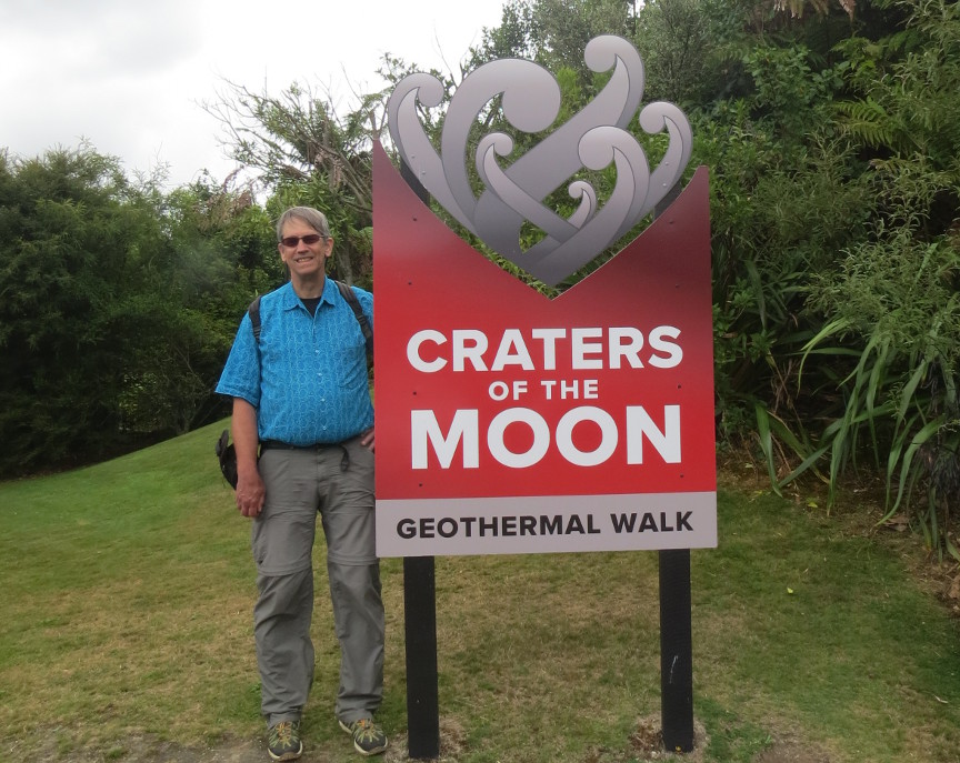
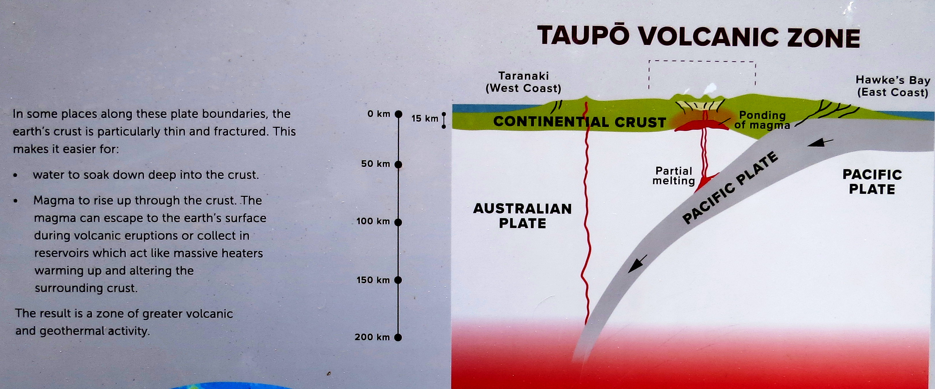
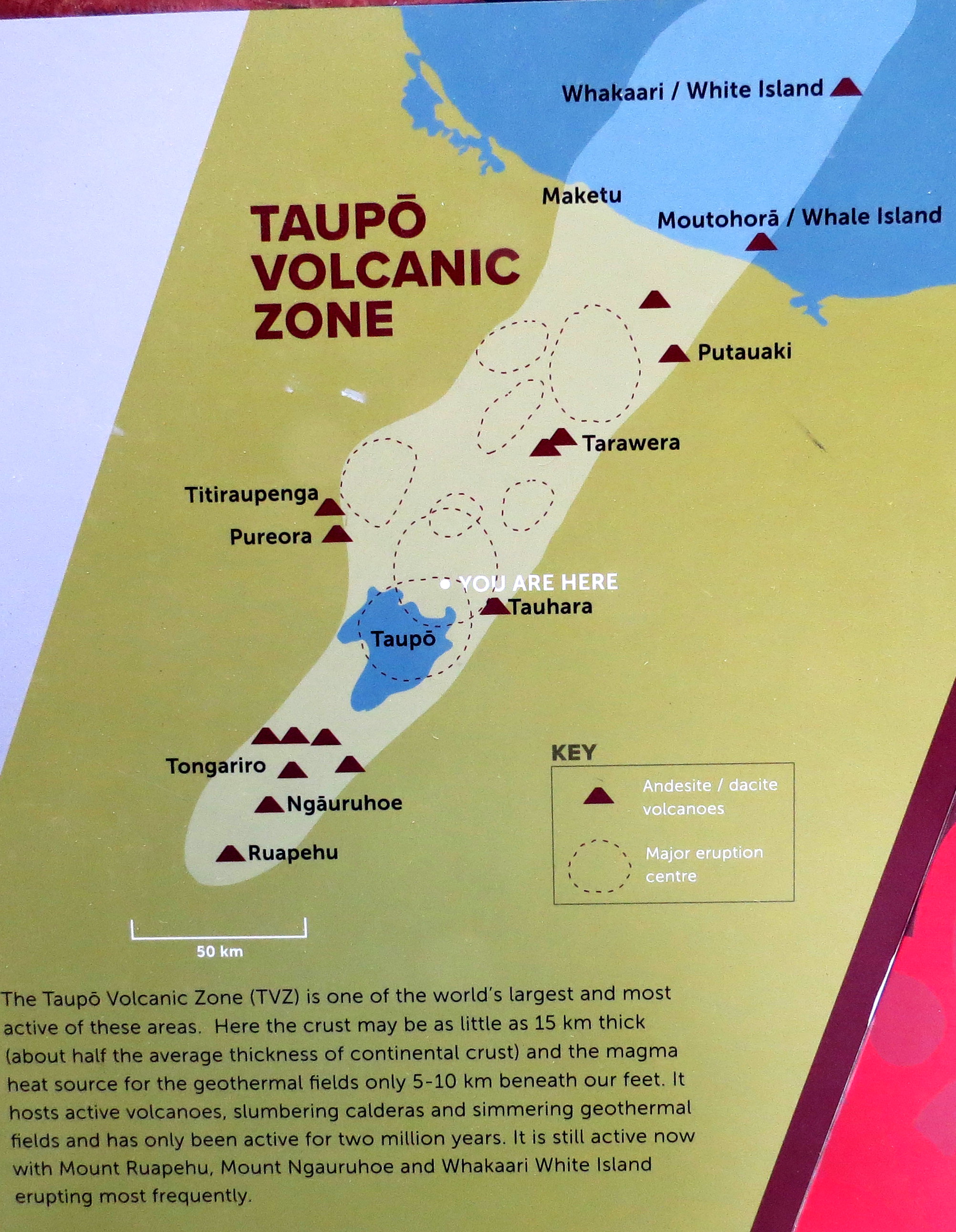
We left National Park and drove toward Taupō. We were now entering New Zealand's most active geothermal area, we visited several different sites with active steam vents, mud pots, fumaroles, etc. I took pictures of a couple of explanatory signs when we stopped at the Craters of the Moon site. I thought these signs offered an easy visual explanation of New Zealand's dynamic geology in the Taupō Volcanic Zone.
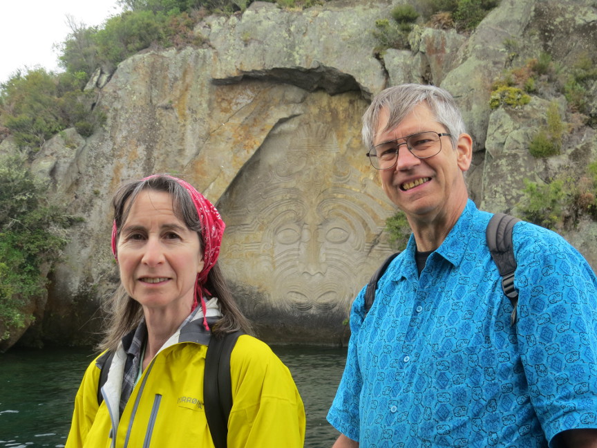
Our first adventure of the day was a boat ride with Chris Jolly tours on Lake Taupō. The boat ride took us across the huge lake to see a big carving that had been cut into a cliff by a Māori carver in the 1970s. Lake Taupō, like Yellowstone Lake, is actually the caldera of a gigantic super volcano. On average, Taupō erupts every thousand years, but it has been 1900 years since the last eruption, so it is only 900 years overdue. The last eruption had such an impact on world climate that the event was recorded by both the Roman and Chinese empires.
Lake Taupō is still geothermally active. The boat skipper, who was also narrating facts about the Lake, told us that there is a "Hot Water Beach" on Lake Taupō where the water is so hot you have to be careful not to burn yourself. The lake is as big as the entire country of Singapore, and it has maximum depth of 340 meters.
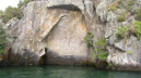
The boat tour took us to see the famous Ngatoroirangi rock carvings. These image was carved by Matahi Whakataka-Brightwell, a 27th generation Māori. The image depicts a legendary navigator named Ngatoroirangi. The top-knot on the top of the head indicates that Ngatoroirangi could communicate with heaven. The face is shown with two mouths, with meant the Ngatoroirangi could talk to both mortals and immortals. The pattern on his nose symbolizes the breath of life.
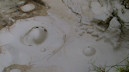
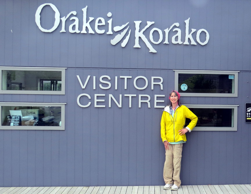
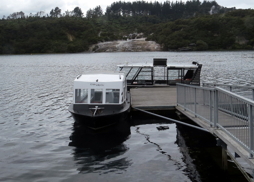
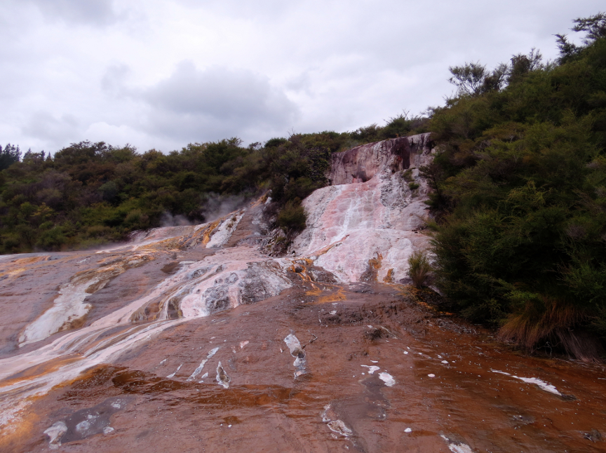
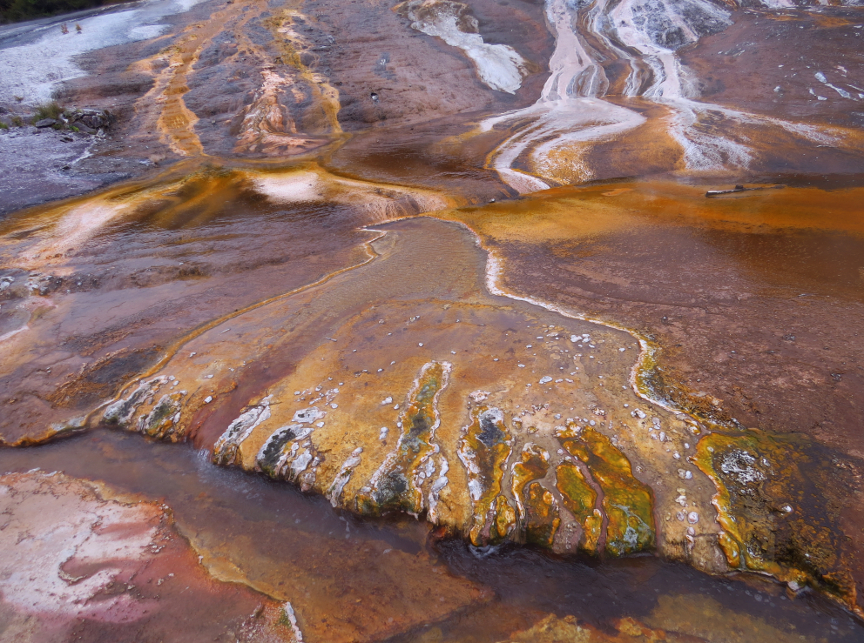
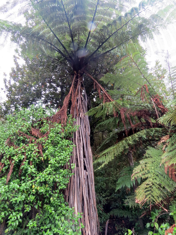
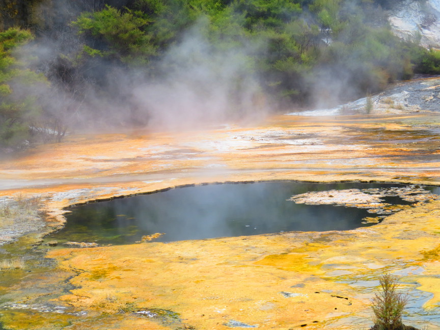
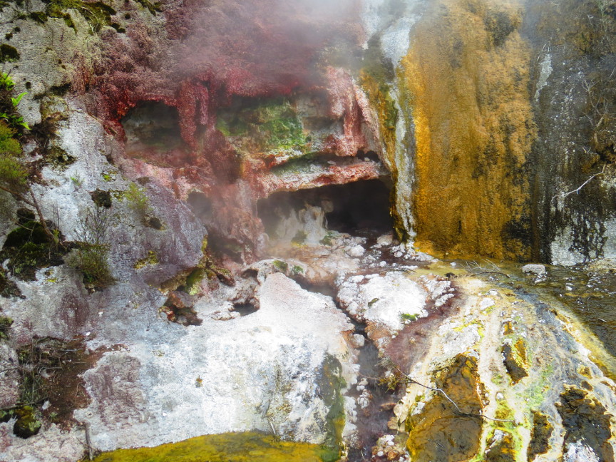
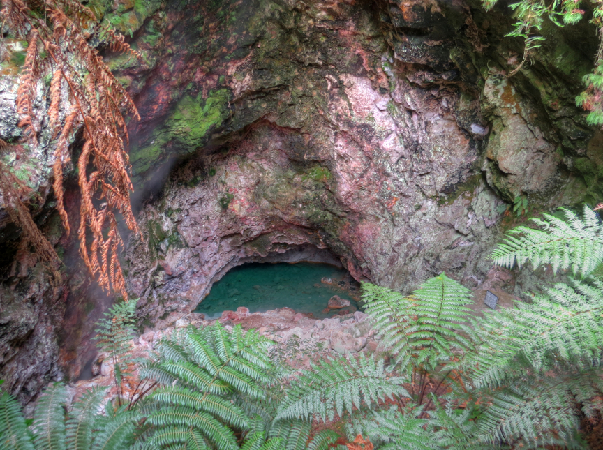
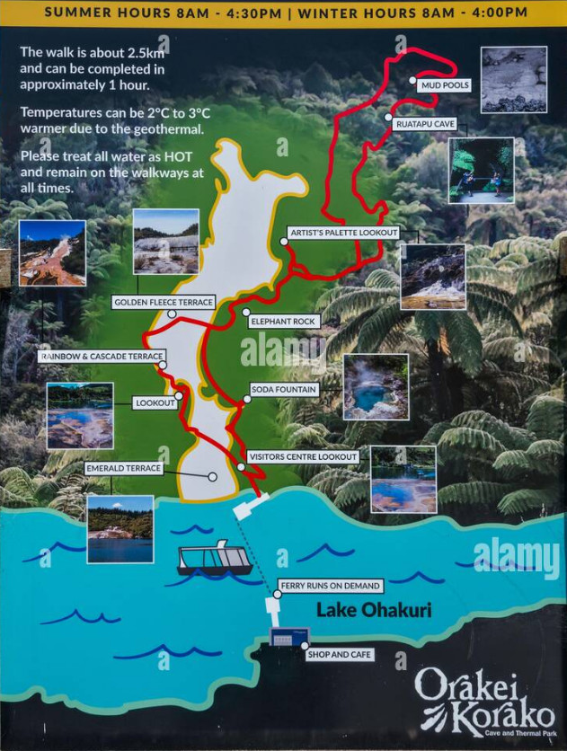
After our boat trip, we drove to our first geothermal site, Orakei Korako. Of course we walked all of the paths through the site, and stopped at each formation. I was hoping to see a geyser go off, but geysers are much rarer now due to geothermal energy projects and water usage. The site is not as amazing as Yellowstone, but it is still a special geological place in the world.
click to see the map of trail in Orakei-Korako
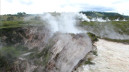
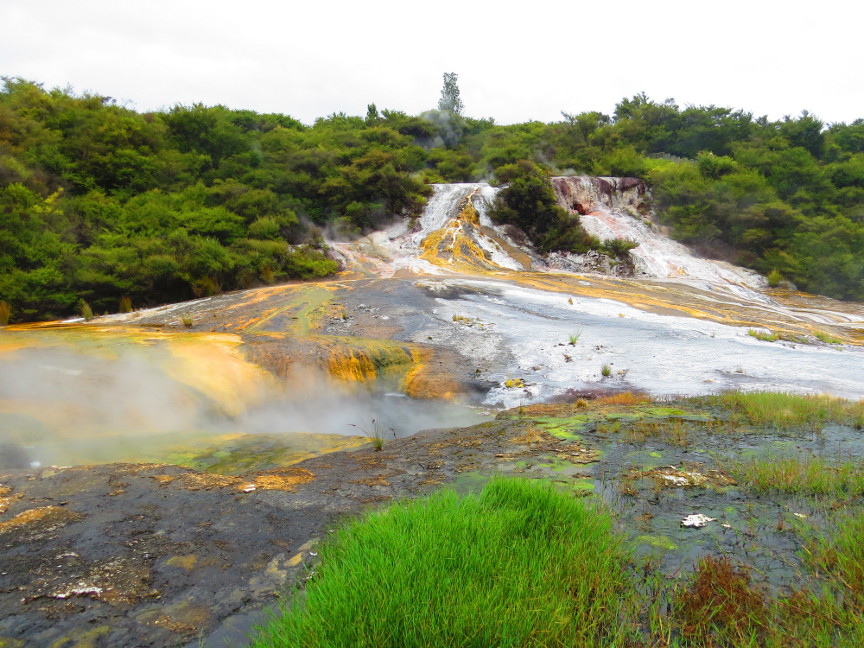
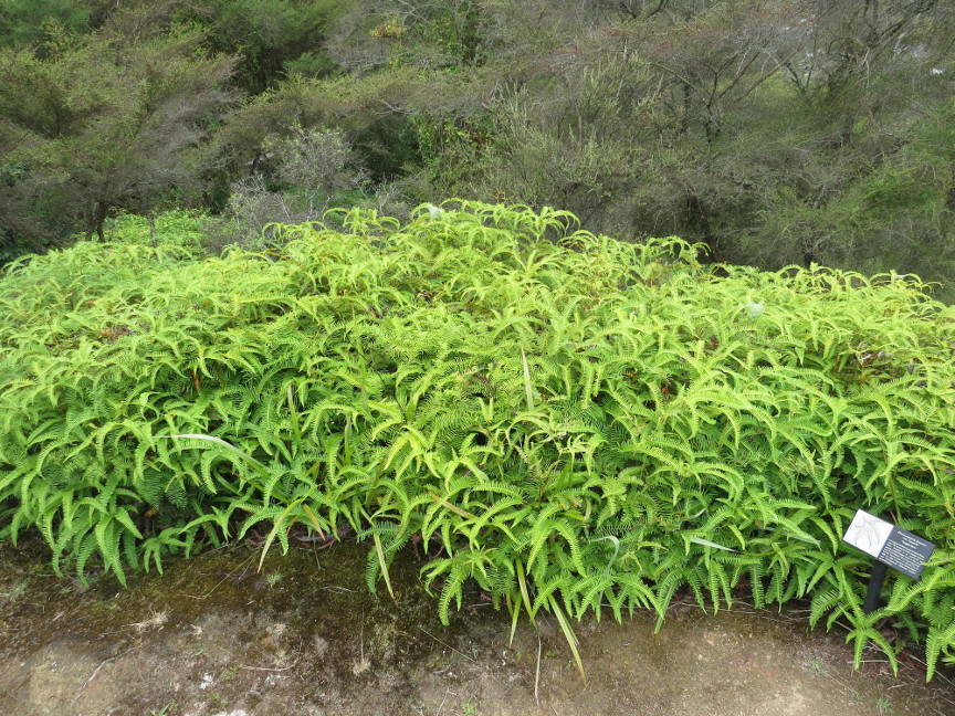
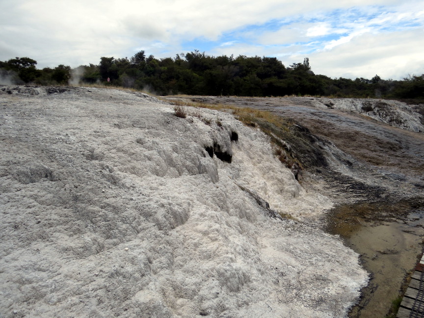
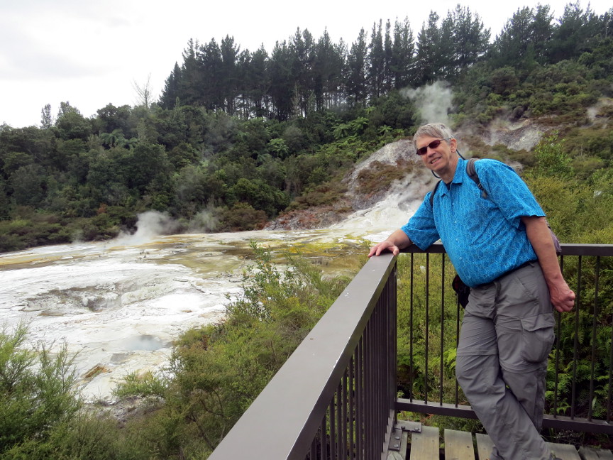
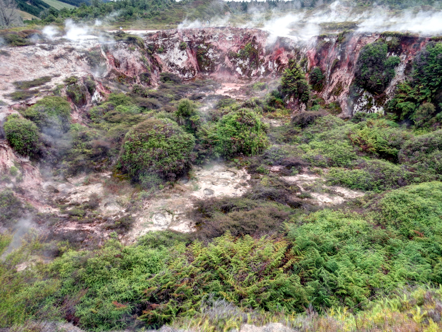
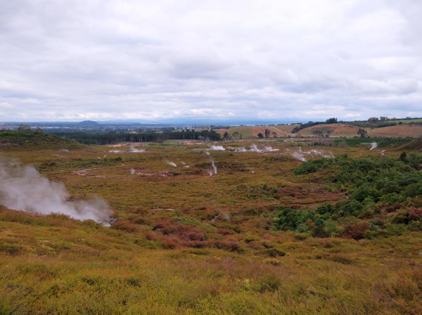
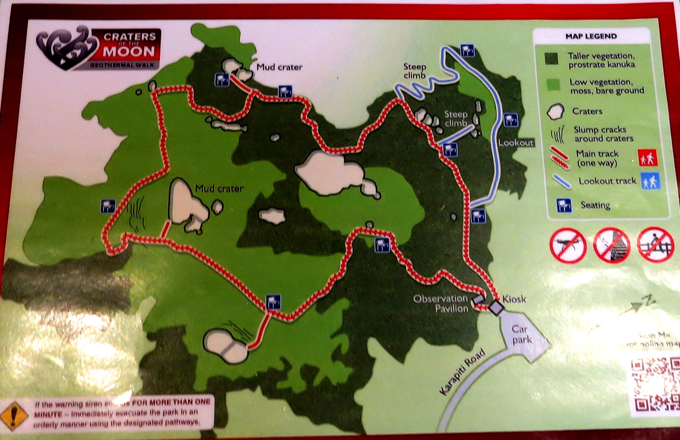
A short drive from Orakei-Korako was the Craters of the Moon. This is walking trail through a landscape that contains several craters that are steaming. The craters are the result of explosions caused when a steam vent got blocked. Pressure built up beneath the blockage, until finally an explosive eruption created the crater. Craters of the Moon had an alarm signal - if visitors heard the alarm, they were advised to sprint for the exit. We felt the ground here, to see if it was warm. The vegetation that grows here has all adapted to the warm soil - it gets warmer the deeper the into the ground the roots dig.
click to see the map of the Craters of the Moon walking path.
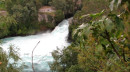
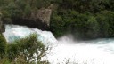
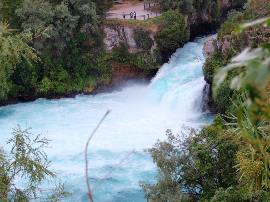
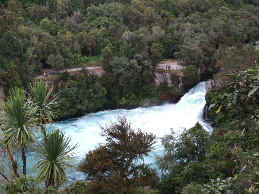
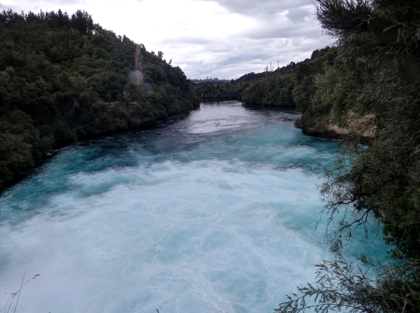
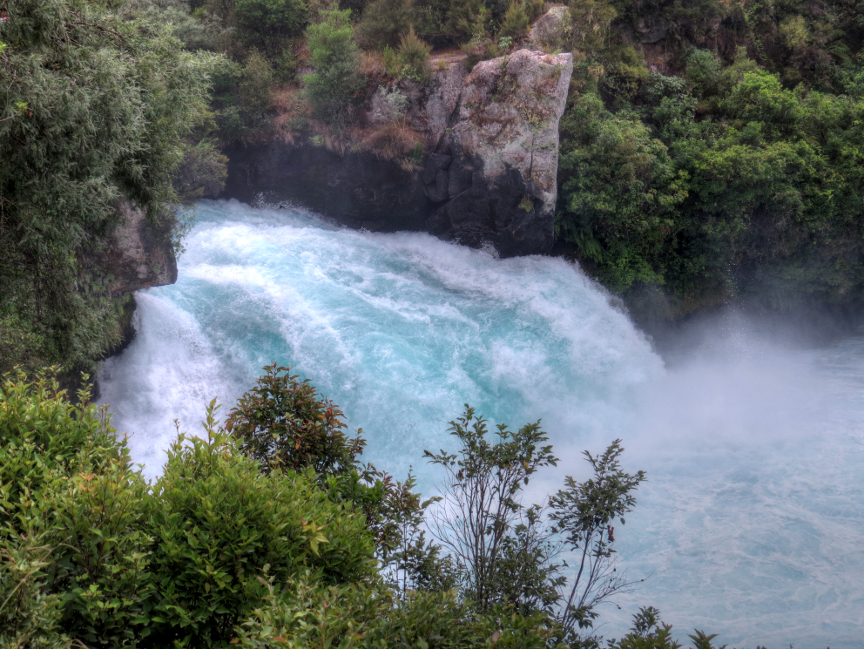
Our final stop today was to the Huka Falls viewpoints. Huka Falls is on the Waikato River. The Waikato River drains Lake Taupō, so it is a large volume of water forced through a narrow volcanic channel. The volume and speed of water forced through the constricted channel causes the churning water to become infused with bubbles, and these bubbles change the water color to a pretty turquoise color. It was nice to see the power falls with such a unique shade of water.