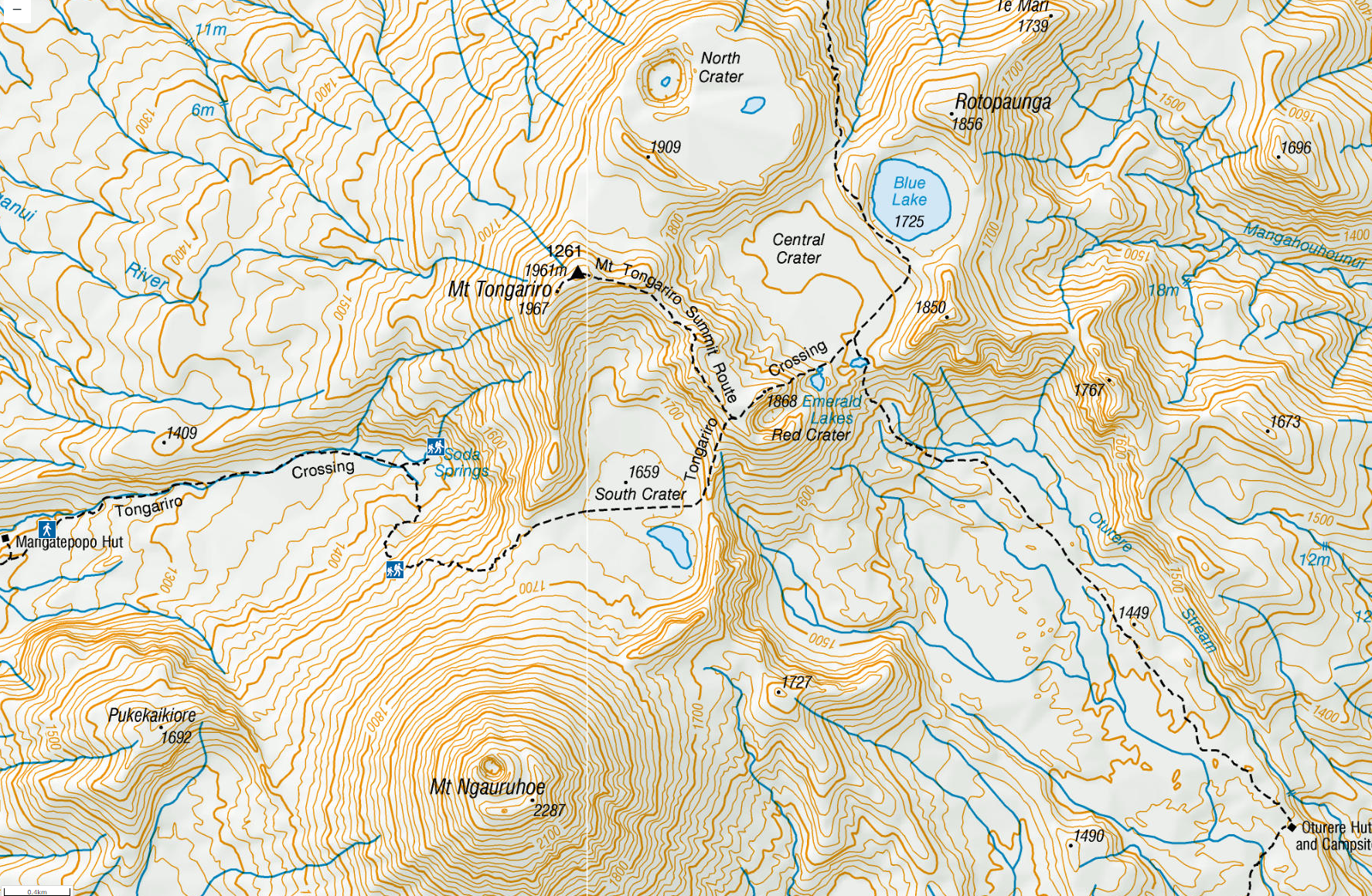
This map shows the route we took from the Mangatepopo hut to the Oturere hut. The map shows a trail leading to the top of Mt. Tongariro, but the Department of Conservation asks that no one climb to the summit because it is a sacred site for the native Maori. (They also request that hikers do not touch the water in the Emerald or Blue Lakes, because that too is sacred).
I got up in the night from Mangatepopo hut to go out and use the restroom, and saw the Milky Way and the Southern Cross. It was clear skies, which I thought a good omen for tomorrow's hike on the Tongariro Crossing. (The fact that the hike had been shut down two days earlier due to high winds had been alarming).
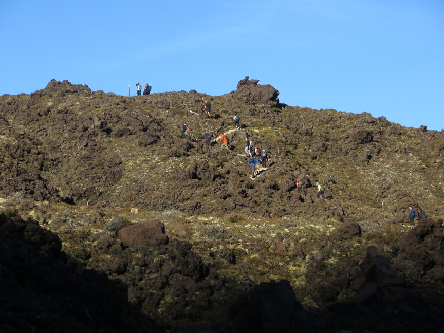
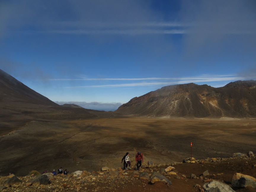
Melanie and I were up early, ate breakfast and packed up all our things and were on the trail by 7:45 A.M. Already there were hikers out ahead of us. The starting carpark for the Tongariro Crossing is just a kilometer or two west of the Mangatepopo hut, and already the buses and shuttles were disgorging eager hikers. We saw plenty of fellow hikers all day long, until the point where we left the Tongariro Crossing trail and headed on the Northern Circuit route to Oturere. I suspect the Tongariro Crossing is the most popular long distance hike in New Zealand. We were told that 1200 people a day make that trek, and more on weekends and holidays.
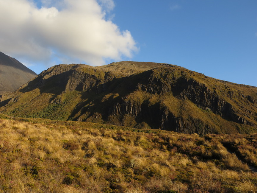
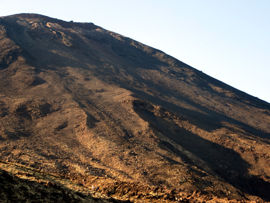
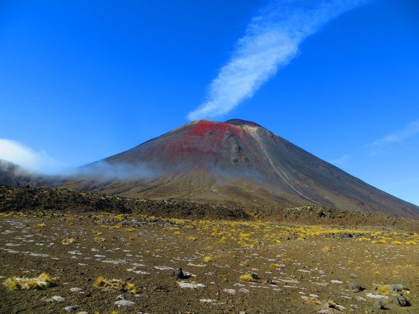
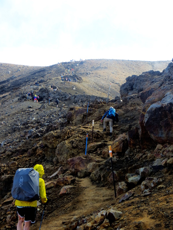
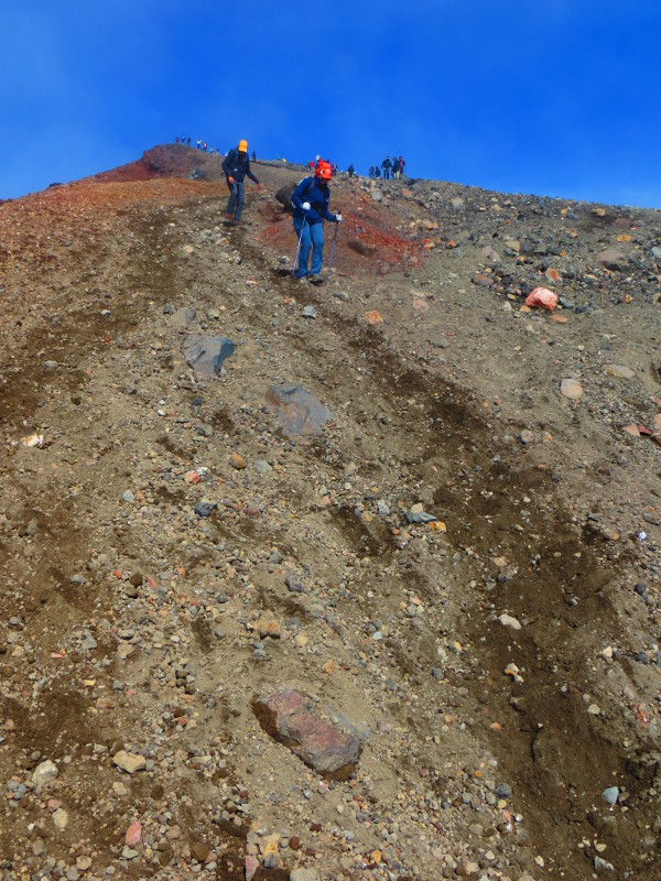
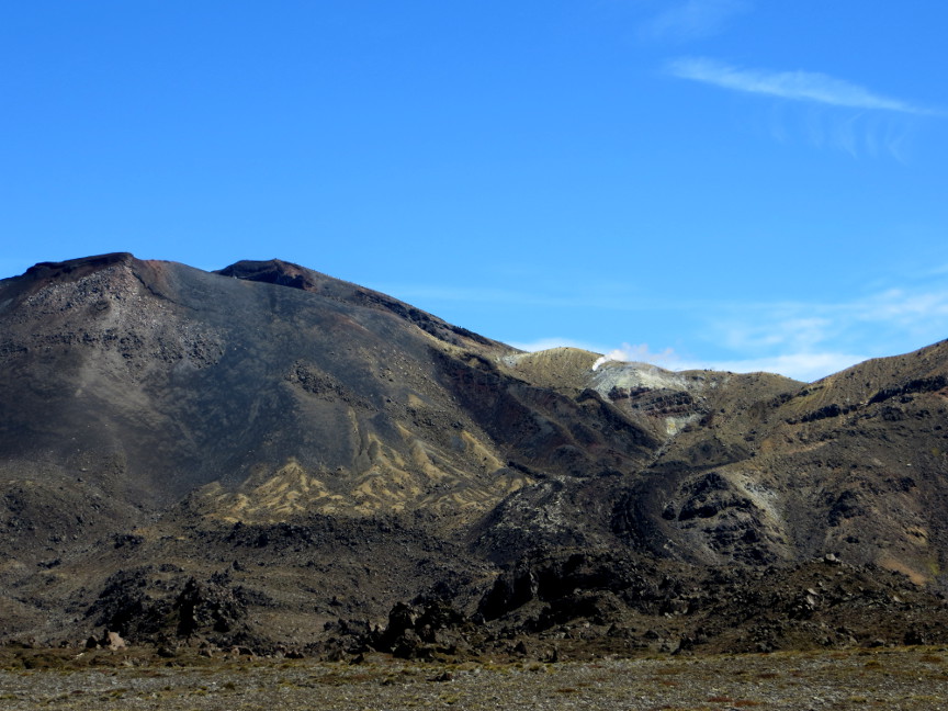
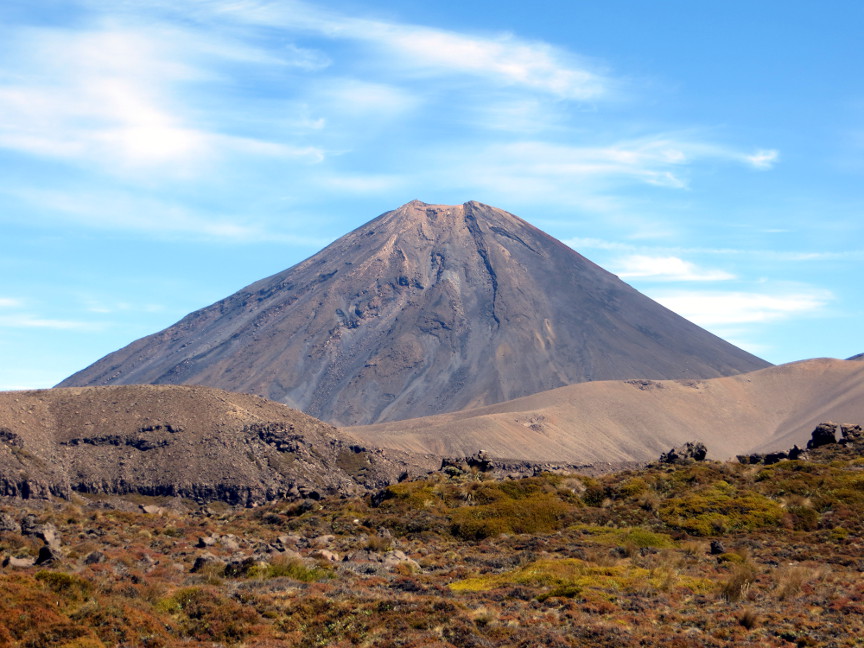
The trail soon begins sloping uphill; this is the day with a lot of climbing. We went up the volcanic slopes on the side of Mount Ngauruhoe, which is still considered geologically active. A sign beside the trail informed us that the most recent lava flow occured in 1954, while the most recent pyroclastic flow happened in 1975.
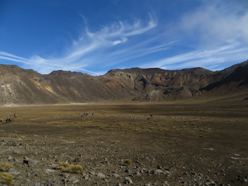
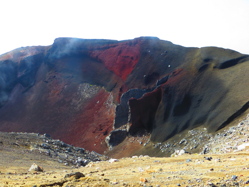
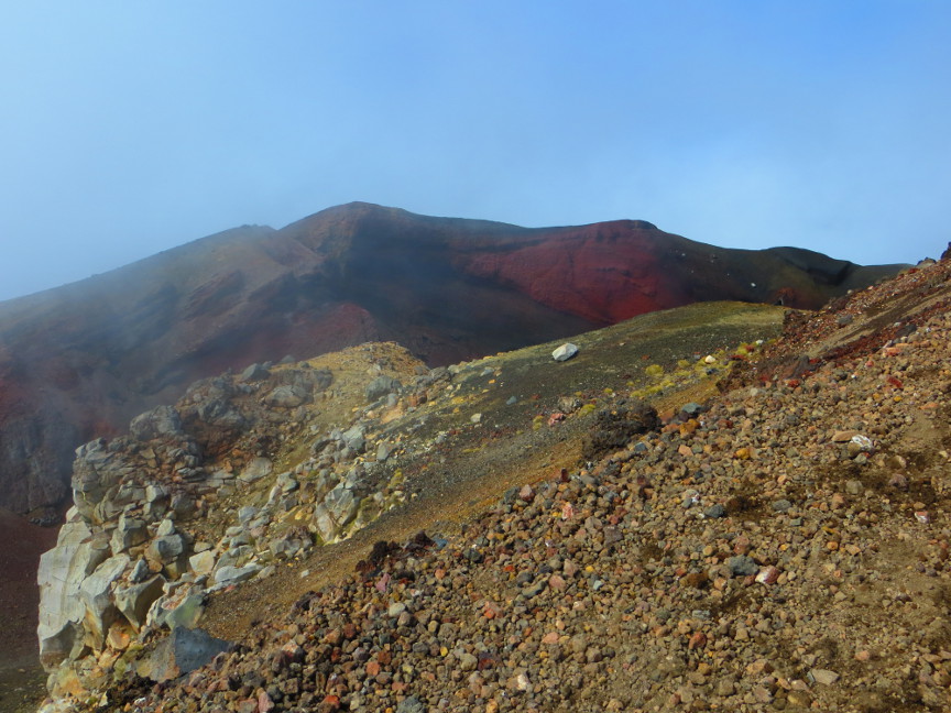
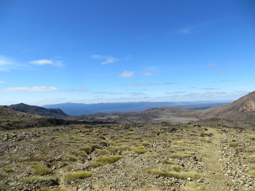
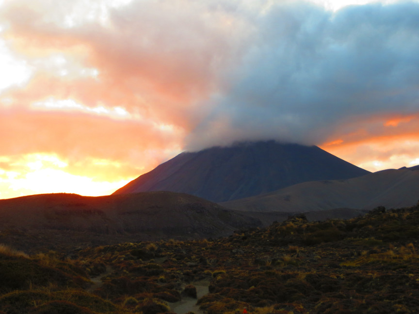
We followed the trail across South Crater, which is nestled between Tongariro and Ngauruhoe. We paused to look at an unnamed lake in the South Crater, and then another stint of climbing brought us to the high point and could look down into Red Crater. There is a giant cairn of stones marking the summit of the Tongariro Crossing. We were fortunate to have such good weather; clouds often shroud these peaks, but we had clear views in all directions. And no wind! I was delighted to have gotten so lucky so as to enjoy such great hiking conditions on this famous hike
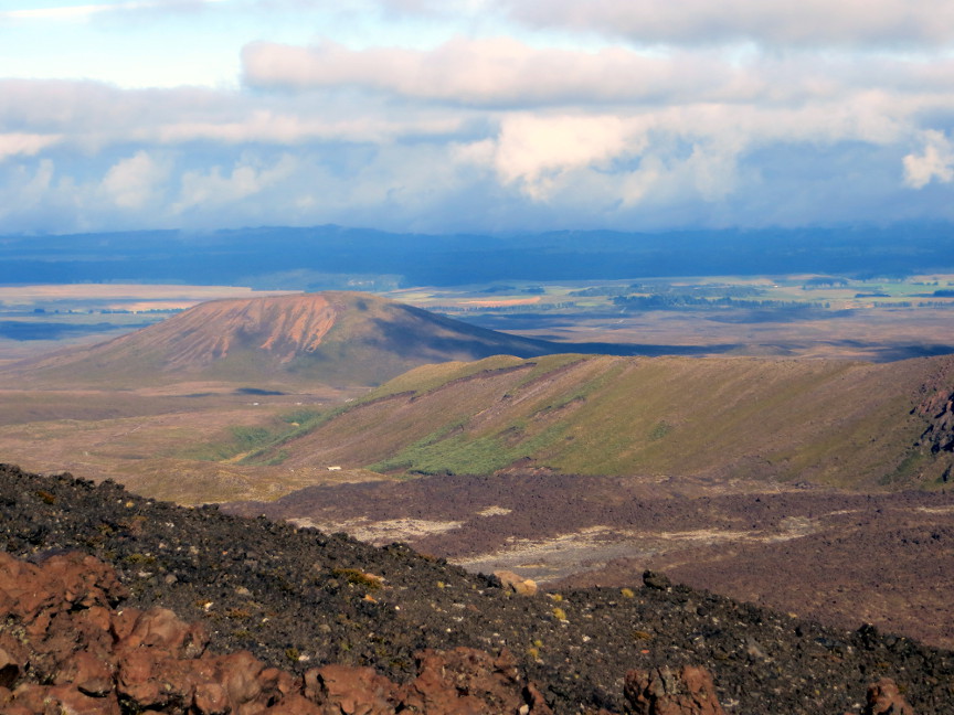
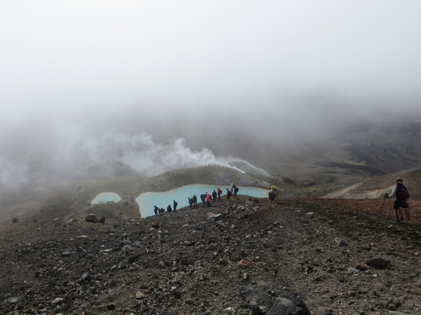
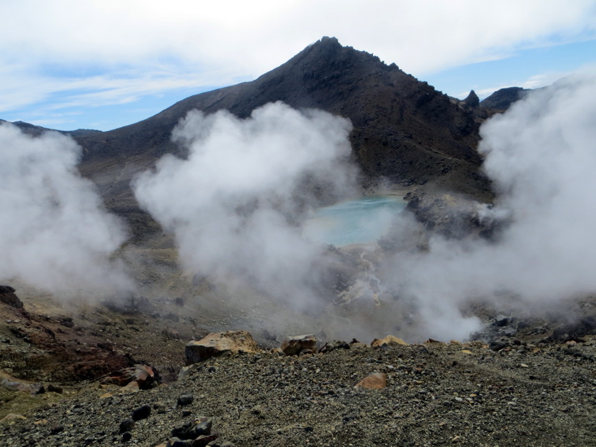
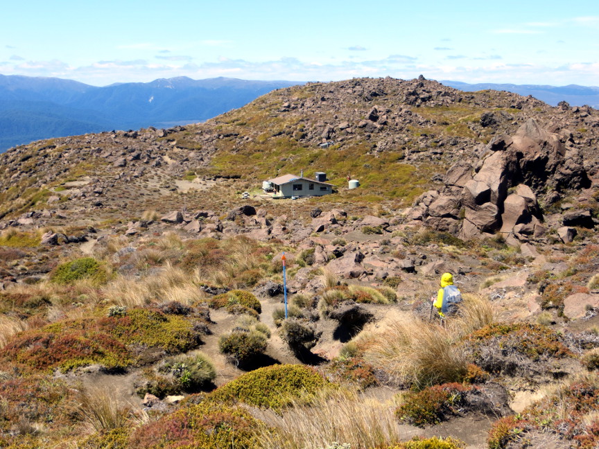
The descent from the high point is a steep scree slope. I was glad to have my hiking poles. We could see the Emerald Lakes below us, with steaming fumaroles reminding us of the not-too-dormant geothermal nature of this area. The lakes had a beautiful color, which I think is partly due to the minerals in the water, and partly due to the color of the reflected sky above the water. From the Emerald Lakes, it was a big descent down into the Oturere Valley. We walked amongst volcanic formations, frequently looking back and up at the mountains behind us. We reached the hut by 1 PM, only one hiker arrived before us. We never did see the hut warden.
We talked to some of the fellow hikers as they arrived. One couple told us a story about their planned trip to Panama. It wasn't until the day before their flight that the husband realized that he had booked tickets to Panama City, Florida rather than Panama City, Panama! One native New Zealander (I guess they are referred to as Kiwis) said he had visited the United States six times - he liked to go to baseball stadiums and watch games live. One couple from Chicago was doing the Northern Circuit over a four day march - yet their entire NZ visit sounded like it would be just 8 days long, so they essentially flew all the way here from Chicago just to hike the Northern Circuit. Americans need to have more vacation time.