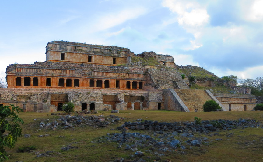
From Kabah we drove a short distance (8 km) to Sayil. The entrance sign there reads:
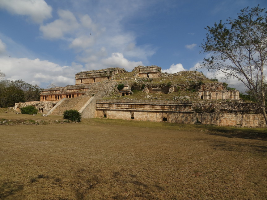
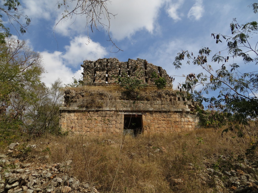
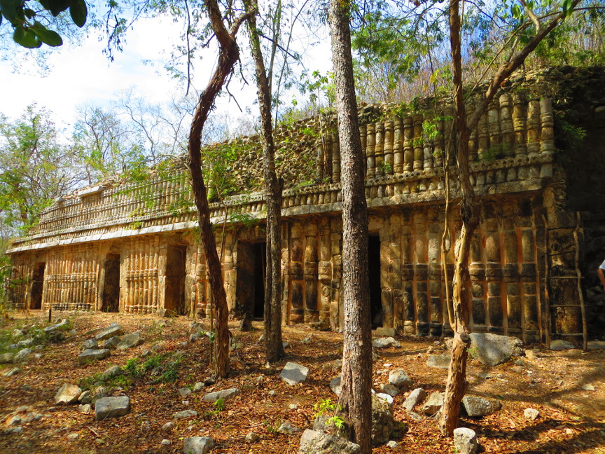
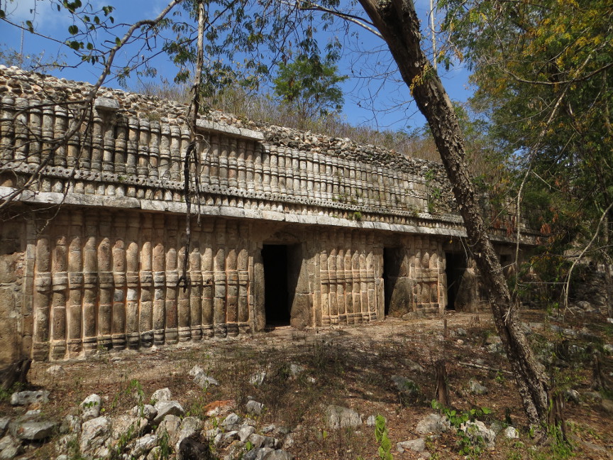
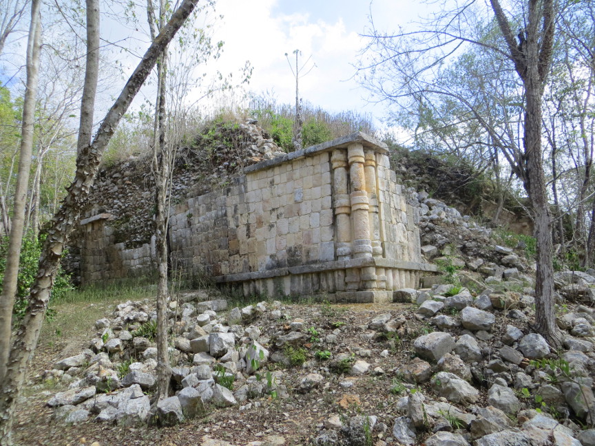
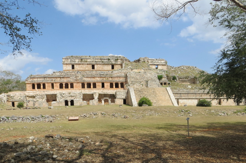
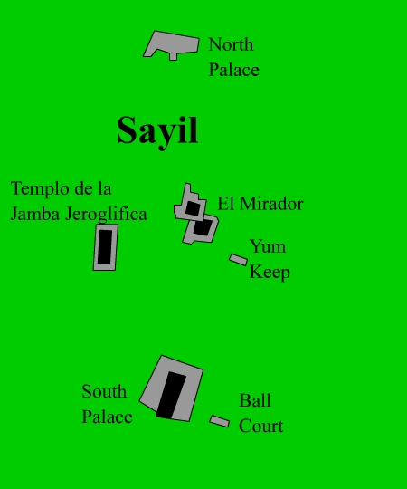
The archaeological zone of Sayil was one of the most densely populated of the Hill Region and one of the few which has been the object of a systematic study program. The residential area occupied an extension of at least 3.5 sq km, or 2.2 square miles. Further away from a strip without house platforms, one occasionally finds groups of rubble work structures with chultunes (underground cisterns) and other domestic implements, such as the case of the Palace of Chaac; most likely, these dealt with lesser population centers dependent upon Sayil. The population could have reached a maximum of 10,000 inhabitants in the residential area and 7,000 in the suburbs; the occupation of the site occurred almost exclusively between 700 and 1000 A.D.. The houses were built on all kinds of ground where a chultun could be excavated in order to capture and store rain water, and indespensible construction for survival during the dry season. Domestic structures exist in the valley or the level central part at the edge of the large outcroppings of natural rock, on the slopes and on top of the many hills which mark the limits to the extensive valley of Sayil. The space between the domestic units could have served as orchards or gardens for cultivating edible and ornamental plants etc. The center of the population is defined by an internal systems of sacbes (white roads) one km long, which connected the North Palace with the major constructions such as the Platform of the Stelas, the Ball Court and the South Palace.


All the graphic images are my own design, but the textured background is taken from a site, EOS development, that offers non-profit users free use of their graphics. Click below to visit their site.
![]()

Single click on any thumbnail to open photo and begin slide show
Sayil