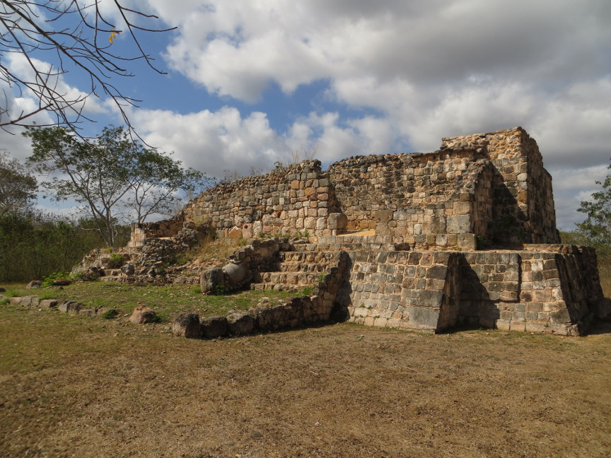
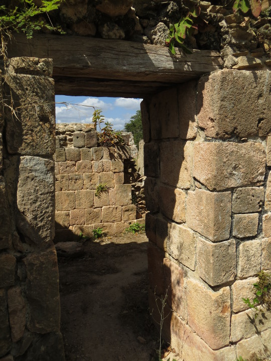
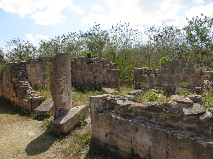
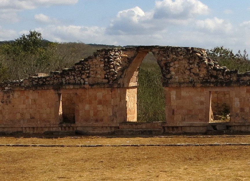
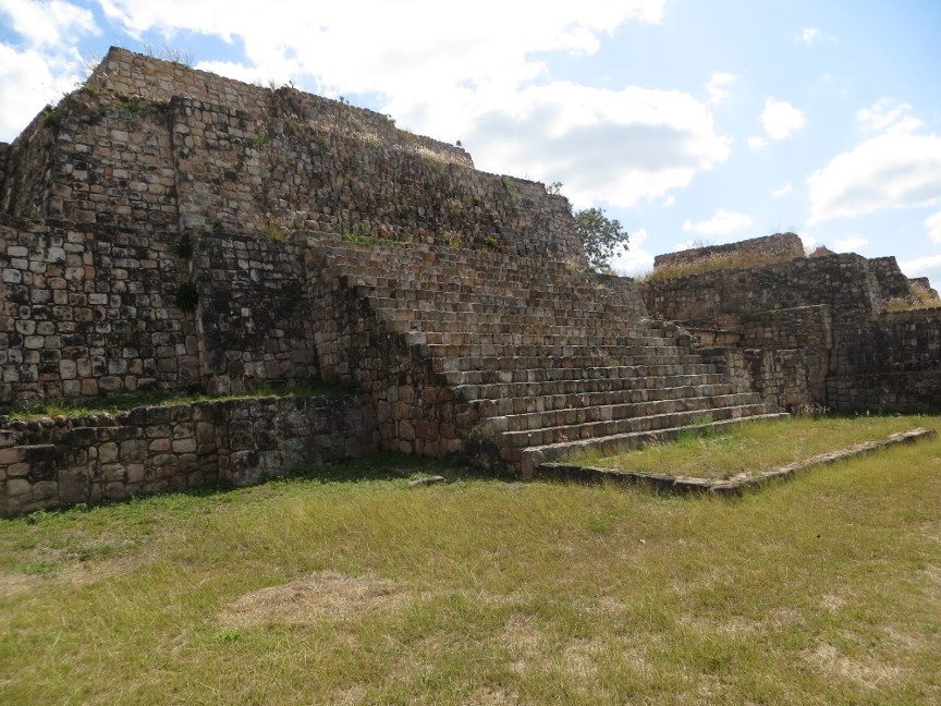
We got an early start the next morning, driving north from Campeche. Our destination was the famous city of Uxmal. But we got such a good start, that we decide to allot a few hours to stop off at the site of Oxkintok, another site of Mayan ruins. This was much less famous than Uxmal - we saw no other tourists on the site during our entire visit there. Nevertheless, Oxkintok was worthy of a stop. Oxkintok is a Mayan word: Ox means three, kin means day or sun, and tok means flint. Thus Oxkintok = Three Days Flint, or Three Cutting Suns.
Oxkintok enjoyed an extensive history. It was founded around 300 B.C. and was occupied until 1500 A.D. Some the oldest Mayan long count dates are found at Oxkintok.
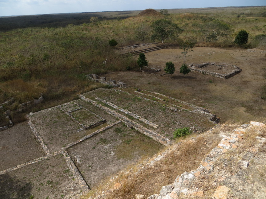
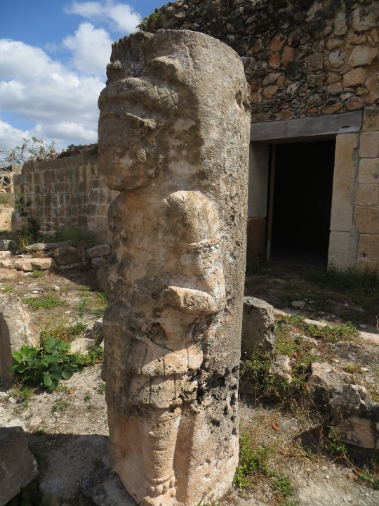
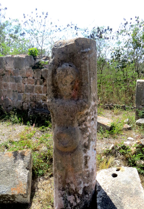
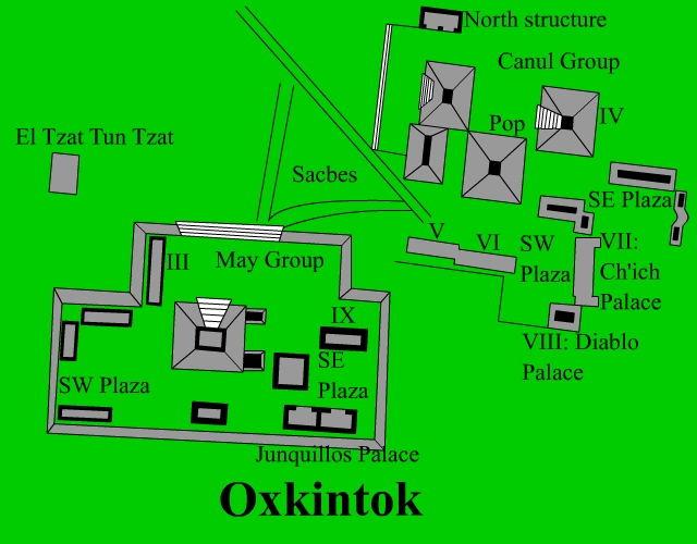
There are three main areas of the city: the Dzib, May and Canul groups. There was an informative sign at the entrance, the text said:
The prehispanic city of Oxkintok is located half way between the port of Celestun on the Gulf of Mexico and the Dzibilchaltun archaeological zone just four miles north of the city of Merida. It is also near the gateway or passage formed by both the west end of the Puuc hills and the rolling country bordering the Yucatan Peninsula's western coastal plains. This ancient city is around two thousand years old, entailing a centuries-long architectural, political and social development. A good example of this is the Ah May Group, whose oldest buildings are found in the housing area known as the South West Plaza. Pyramids where built there at a later date, and still later, palaces. From what is known to date, the Ah May Group's particular chronology is similar to the sites general sequence of events. The dating runs from the Early Classic to the Terminal Classic, that is, from 300 to 1050 A.D.


All the graphic images are my own design, but the textured background is taken from a site, EOS development, that offers non-profit users free use of their graphics. Click below to visit their site.
![]()

Single click on any thumbnail to open photo and begin slide show
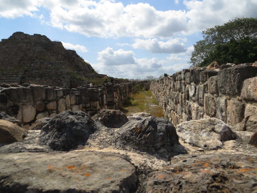
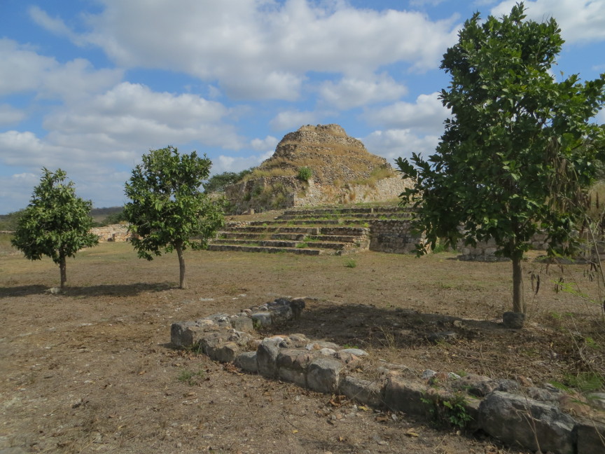
Oxkintok