We enjoyed another buffet breakfast at the Mayaland Hotel (and watched the colorful birds again) and then drove east to Coba. Coba is supposed to be popular with the bird watchers, but we didn't see a single bird during our visit, I guess we got there too late.
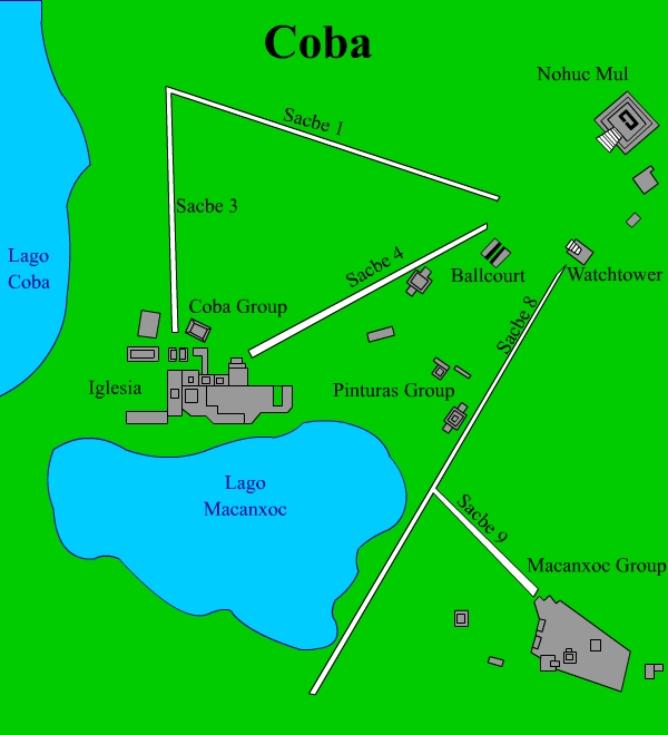
Rivers and lakes are rare in the Yucatan, the only reliable source of fresh water is the cenotes. So it is no surprise that the city of Coba grew up on the shores of four small lakes: Laguna Coba, Laguna Macanxox, Laguna Xkanhu, and Laguna Sacakal. The name Coba means Waters-stirred-by-the-wind. The earliest relics can be dated as far back as 100 B.C. By 100 A.D., the first buildings were constructed. Over the centuries, Coba grew into a huge city, dominating the eastern Yucatan. It may have built alliances with Tikal through marriages. But in the ninth century, Coba became embroiled in warfare with Chichen Itza and it never recovered. Ultimately it was abandoned.
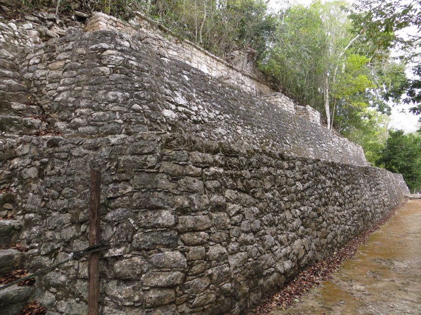
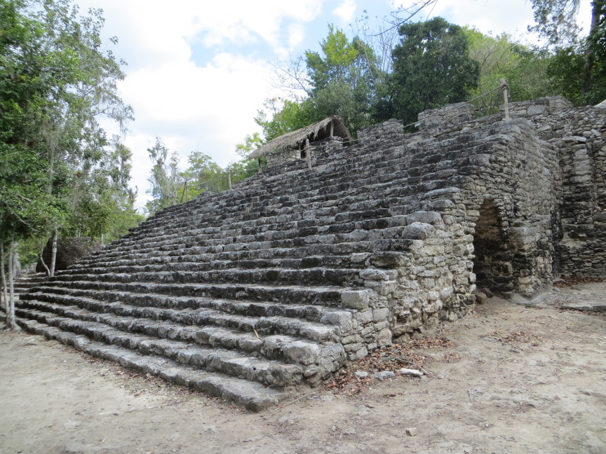
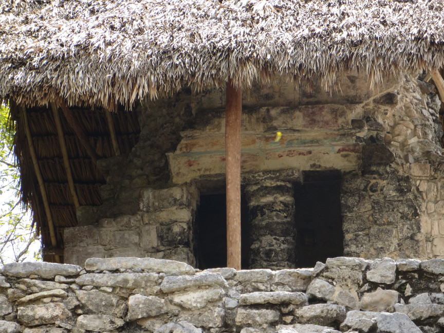
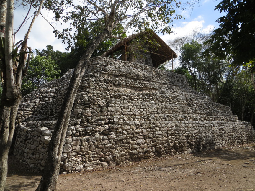
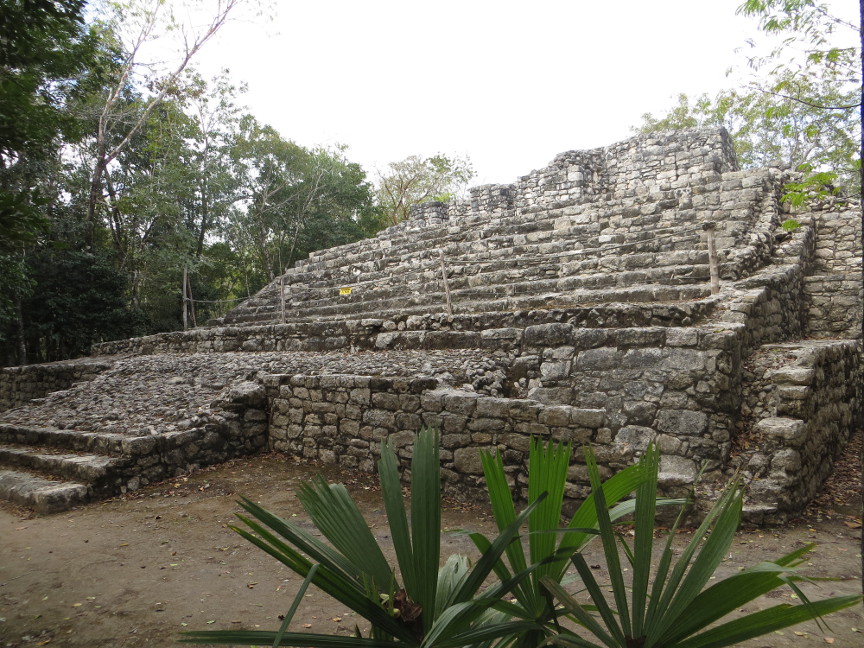
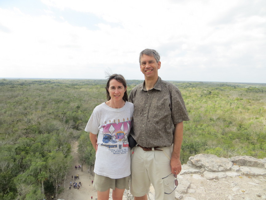
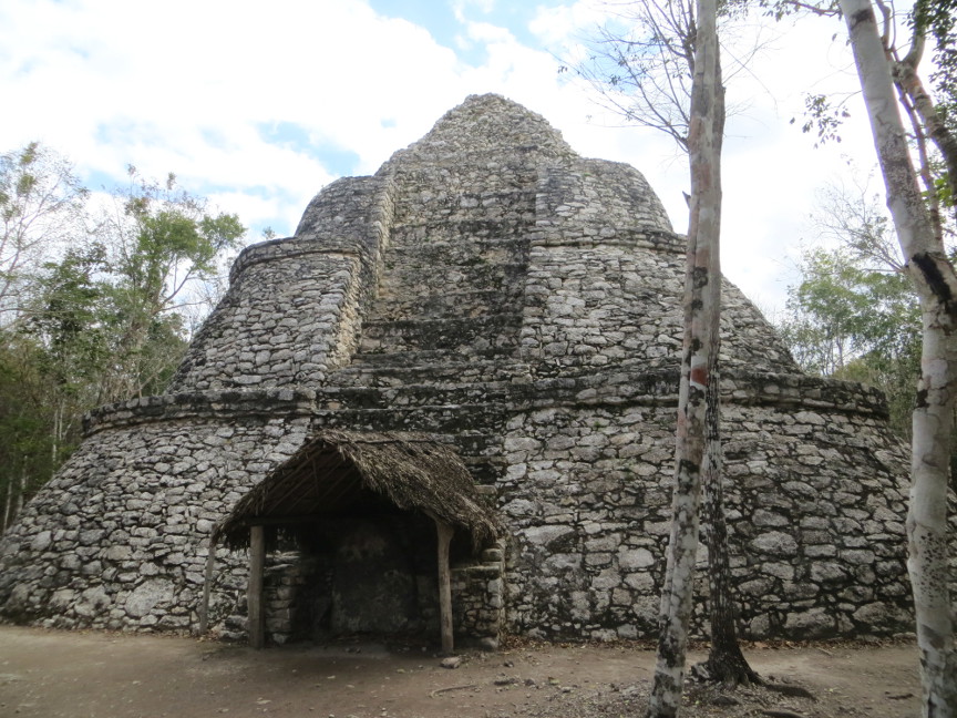
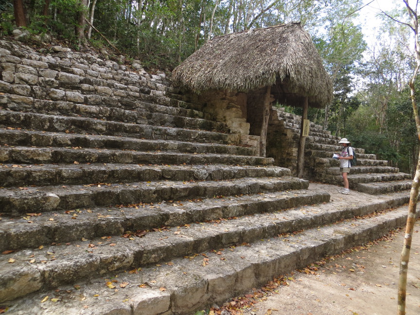
The guidebooks say that over 6000 structures have been identified around the Coba site, but only a few have been excavated. I was a bit surprised about the level of restoration at Coba. Despite being a major tourist destination (it is within an easy bus ride from the cruise ship ports on the coast), not many buildings have been finished, and there are even fewer identifying signs. Coba may have had less to see than any of the other sites we visited. Coba does have a tall pyramid, called Nohuc Mul(the name means Large Hill), and for now tourists are still allowed to climb the steep steps. But there are few other highlights.
This is the text of a sign posted at the entrance:
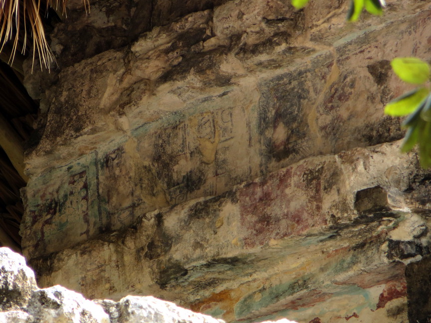
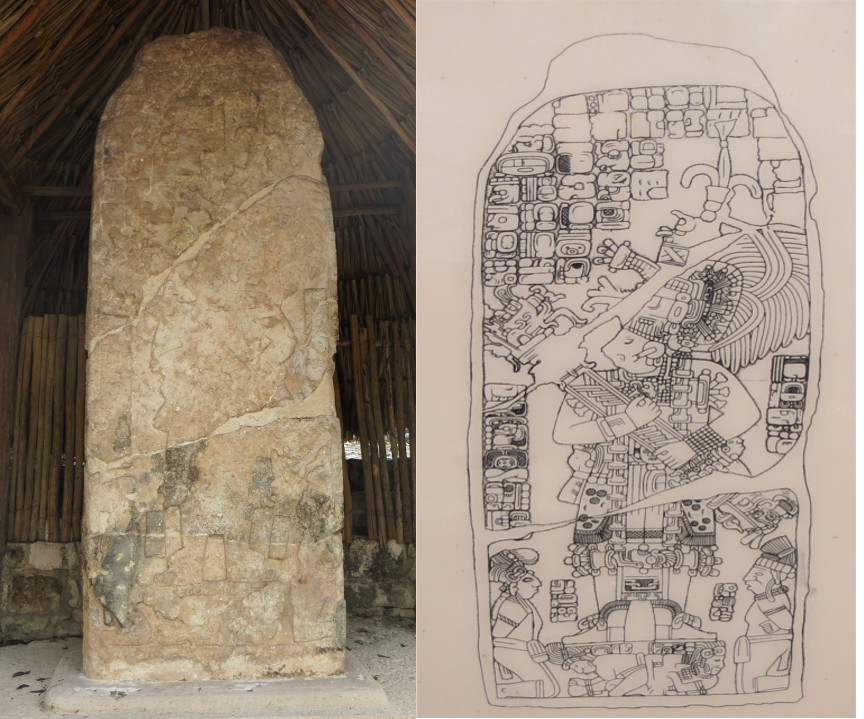
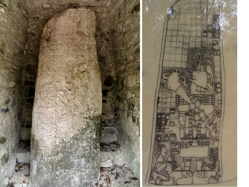
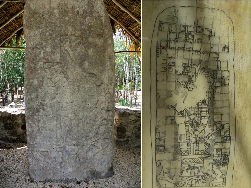
The city of Coba covers an area of around 70 kms, and the principal groups of buildings are situated near the lakes of Coba and Macanxoc. It has an important network of white roads (sacbeoob) of varying lengths, which connect it with other building groups and prehispanic settlements. The most notable example is Sacbe 1, which is 100 kms long and reaches the site of Yaxuna, near Chichen Itza. The major roads or causeways were built between 600 and 800 A.D. During this same period of time, the stelae of Coba were erected. These were sculptured stone monuments on which the basic events of the ruling class were registered. The inhabitants, who did not belong to this social class, lived on the outskirts of the central zone and their dwellings did not differ much from the ones inhabited by present day Mayans. It is estimated that the population of Coba in the 8th century was approximately 55,000 inhabitants. Between 800 and 1100 A.D., construction development reached its peak. The classical architectural style of Coba resembles more that of the Peten of Guatemala than that of the northern Yucatan. By the time of the Post-Classic period, Coba lost its superior force and other cities from along the coast, such as Tulum, Xcaret, Tankah and El Rey began to flourish.


All the graphic images are my own design, but the textured background is taken from a site, EOS development, that offers non-profit users free use of their graphics. Click below to visit their site.
![]()

Single click on any thumbnail to open photo and begin slide show
Coba