|
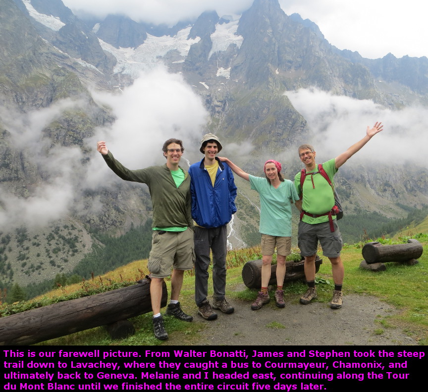
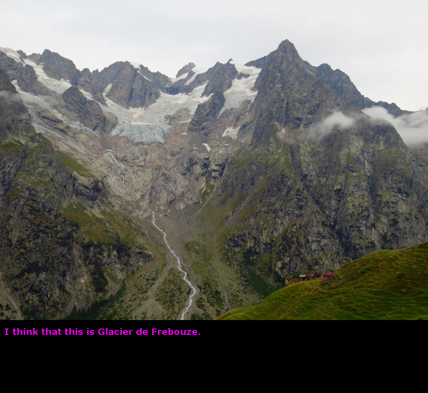
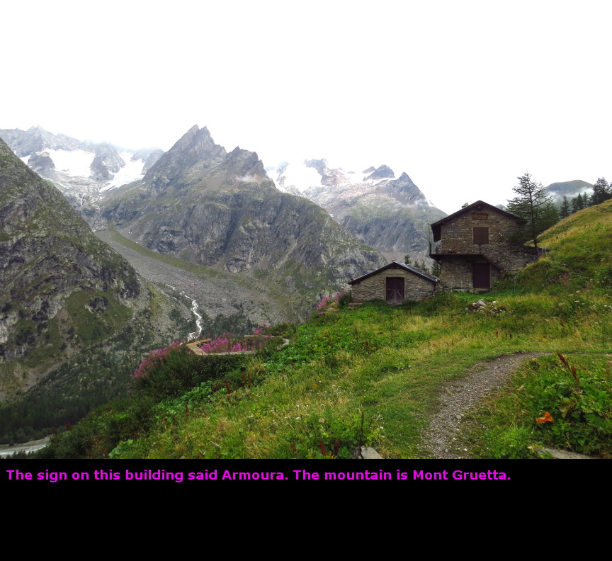
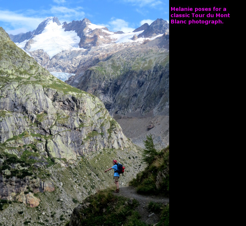
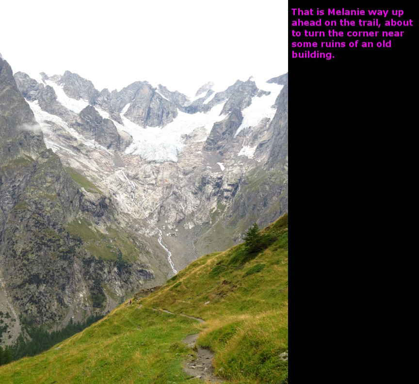
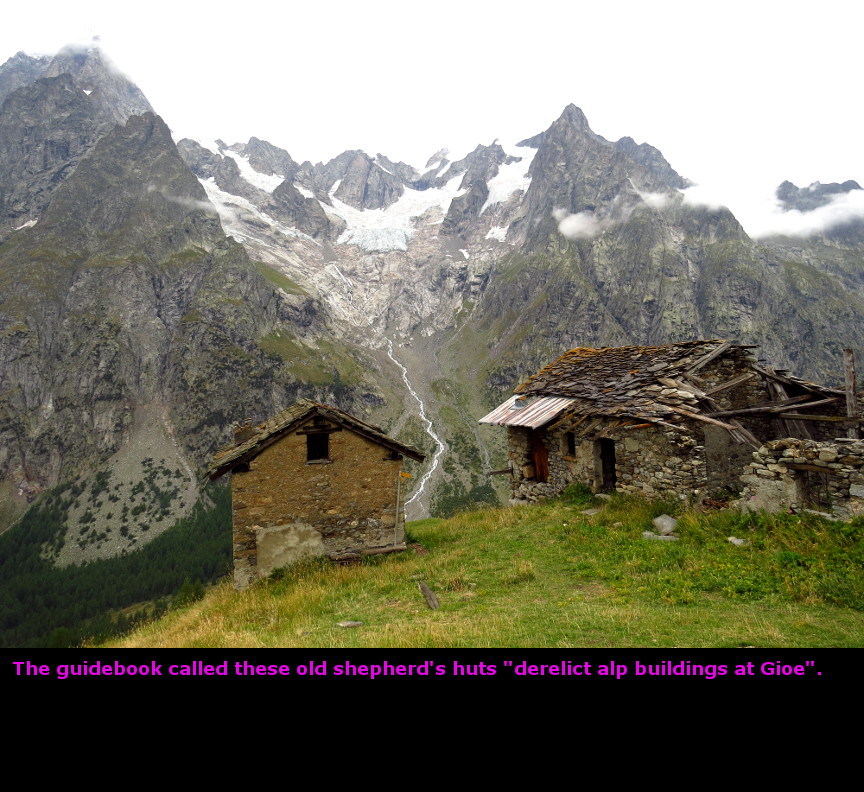
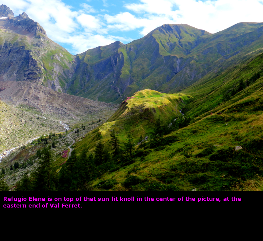
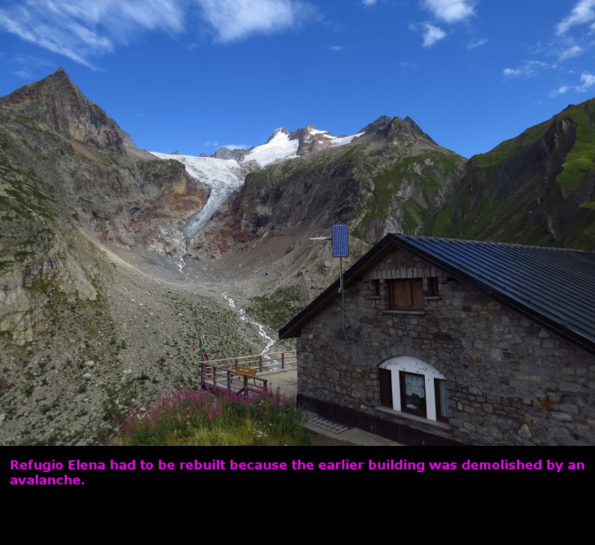
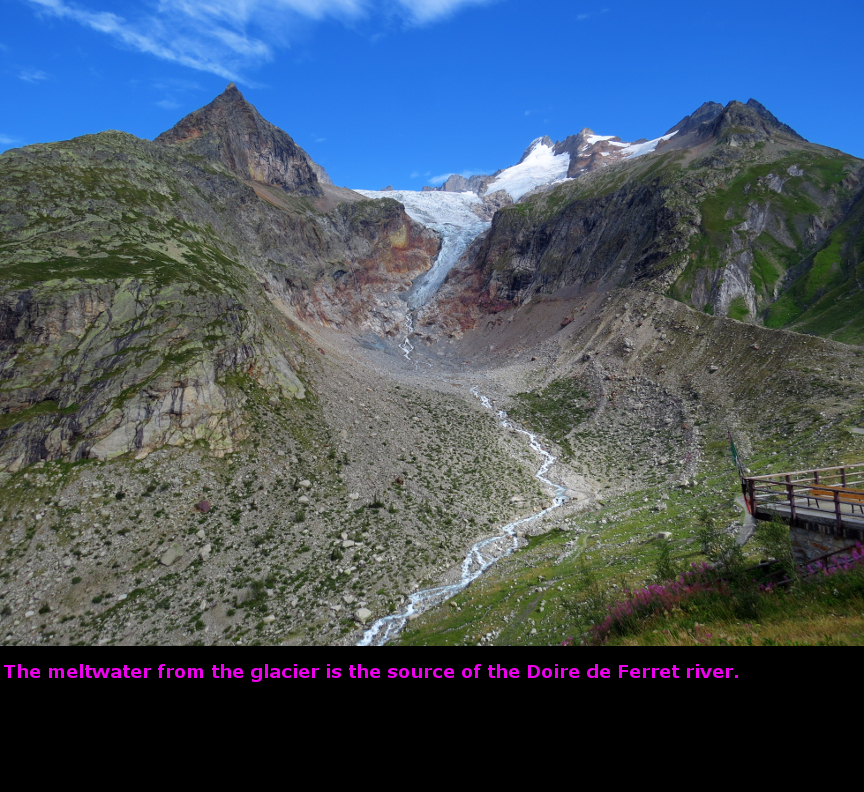
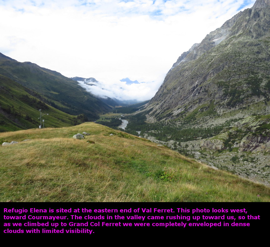
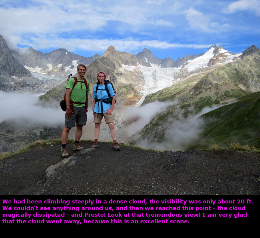
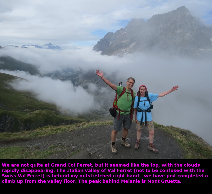
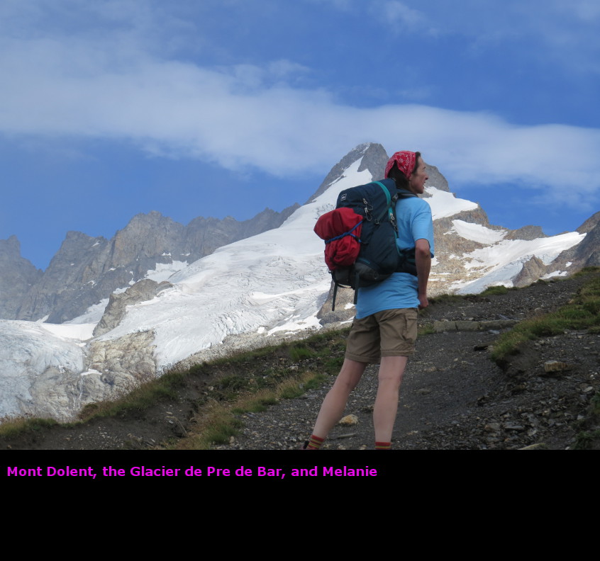
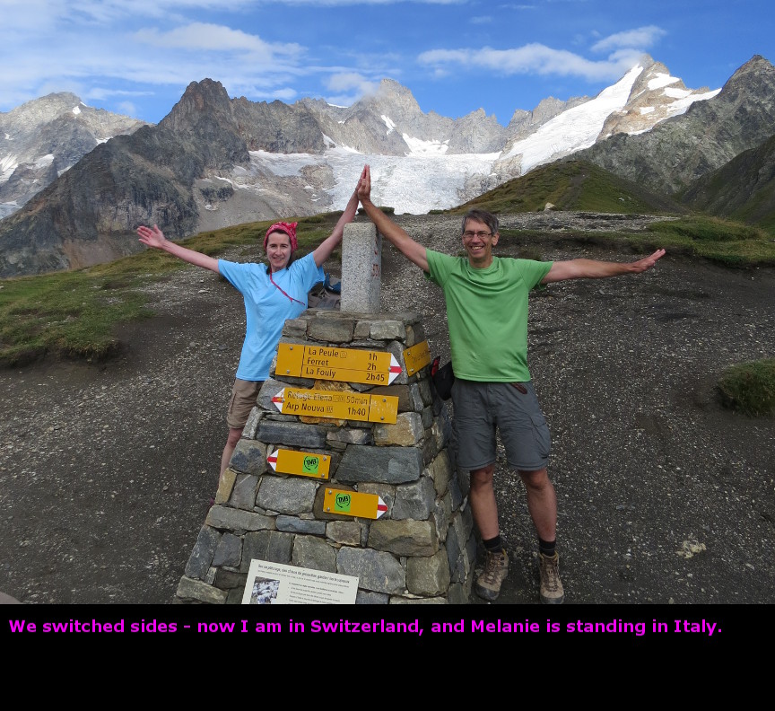
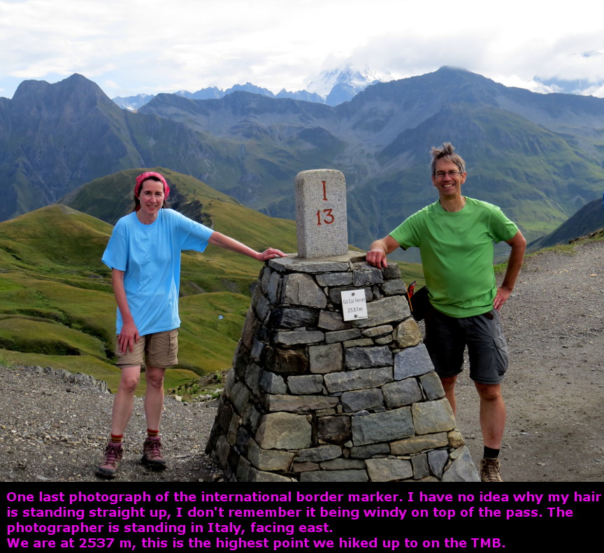
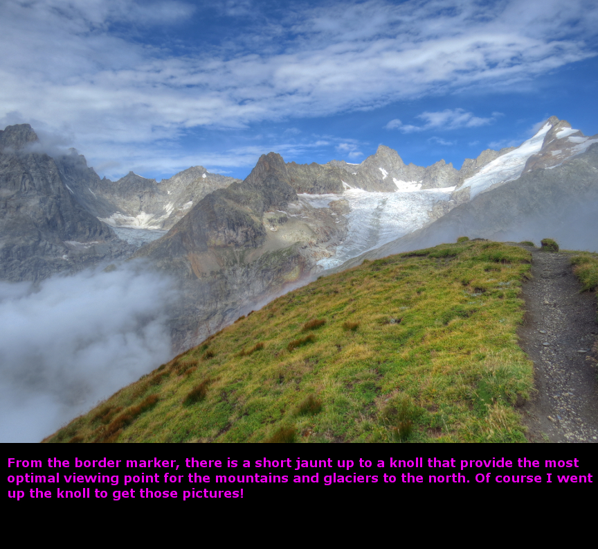
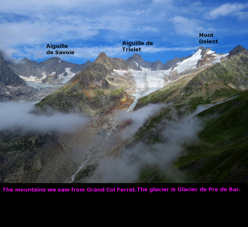
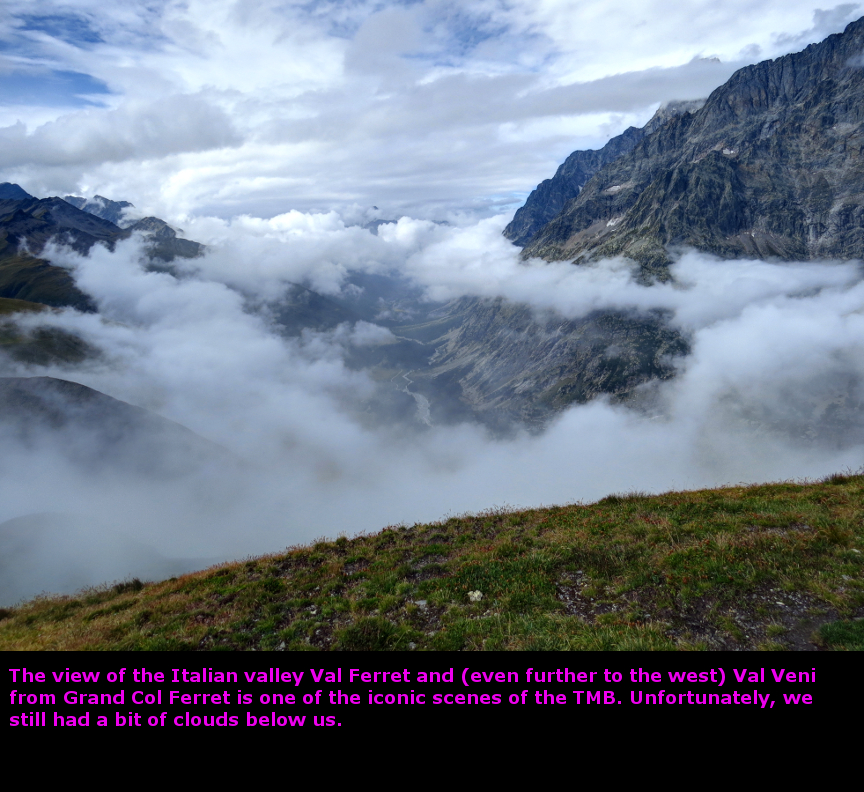
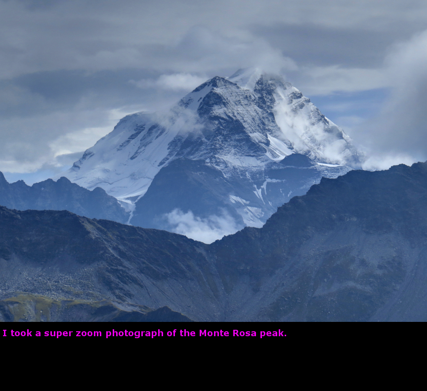
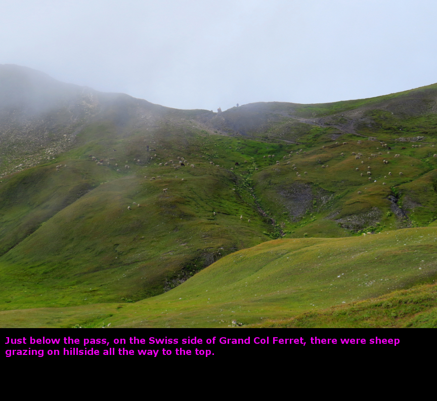
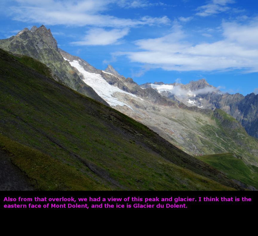
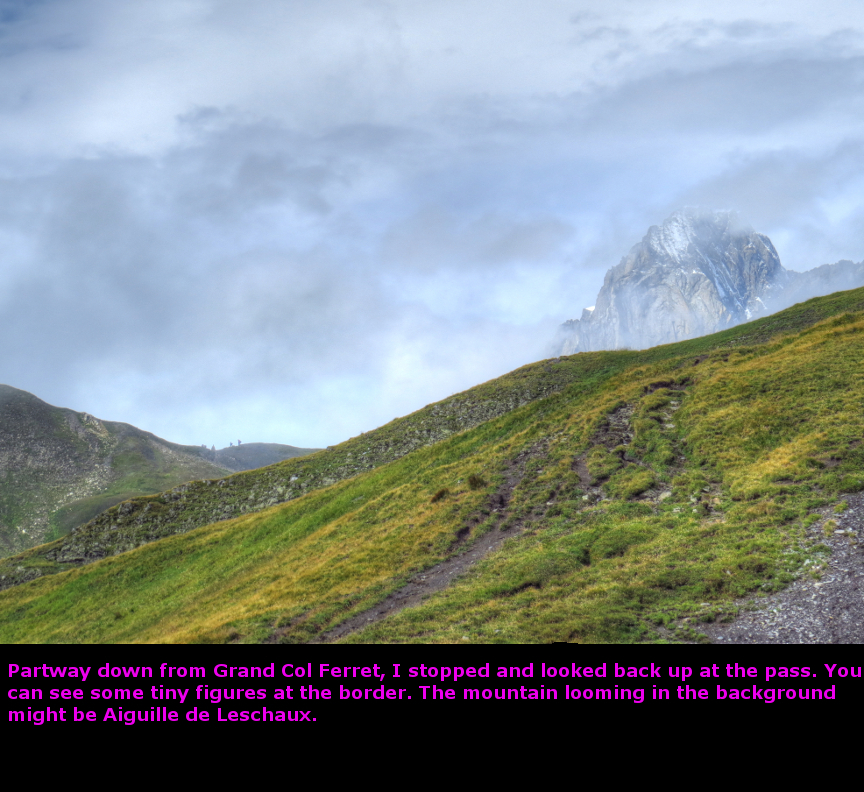
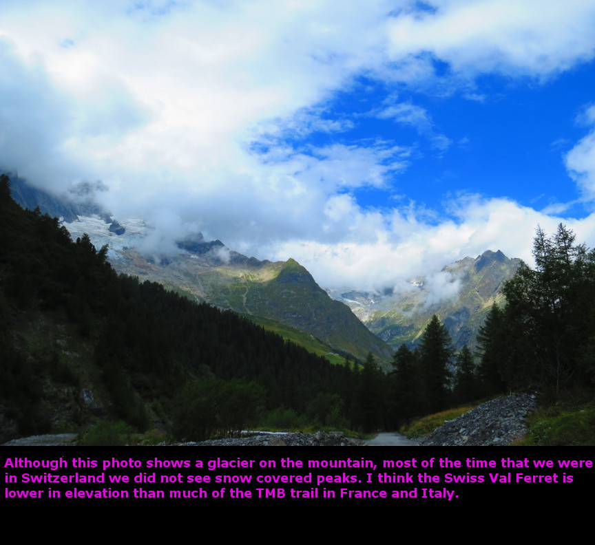
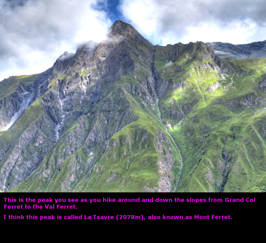
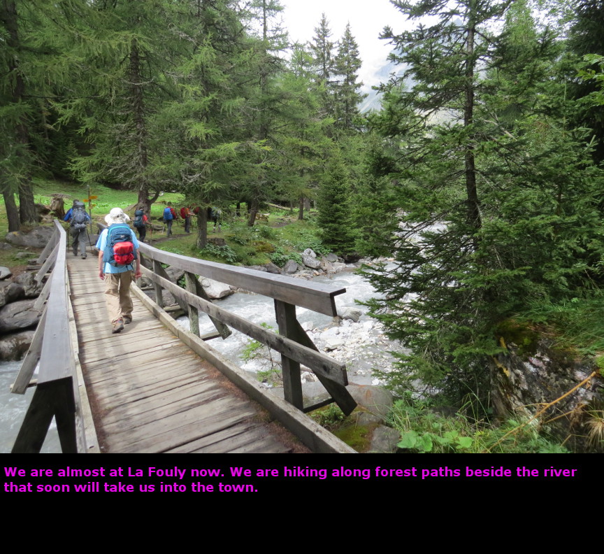
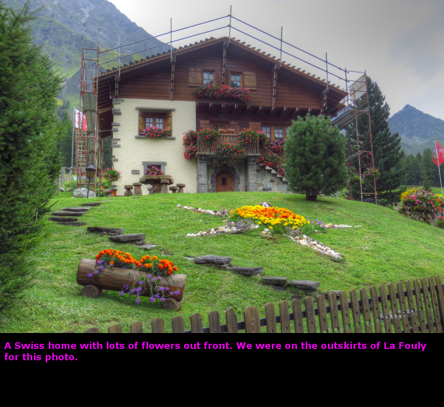
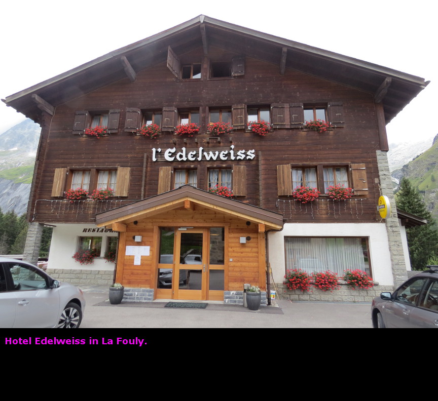
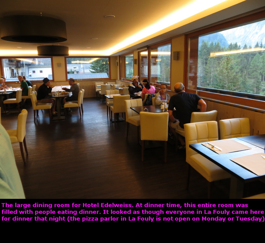
This morning we said goodbye to Stephen and James. They did not have enough vacation time to complete the full two-week circuit of the TMB, but we were so glad that they had been able to join us for the first half of the hike. We wished them well, and they hiked down the steep slope from Refugio Walter Bonatti to the tiny town of Lavachey. From Lavachey they caught a bus to Courmayeur, and then another bus took them through the Mont Blanc tunnel to Chamonix, and from there it was an Alpy bus ride back to Geneva, where they spent the night. Melanie and I turned east, heading along the flank of the mountain, still high above the floor of the Italian Val Ferret. At one point we put our rain covers over our packs, but we experienced no rain today. There were still clouds around, but today we had some better views of the southern side of the Mont Blanc massif. We descended on the trail to the valley floor of Val Ferret, where there was a bridge that took us over a flowing river. From there, it was a bit of an uphill climb. Eventually we reached Refugio Elena, which is perched at the eastern most end of the valley. There are glaciers above the refugio. Refugio Elena is situated so that it gives a commanding view to the west - the length of Val Ferret plus (on clear days) Val Veni. Refugio Elena marks the start of the ascent to Grand Col Ferret, which is the border of Italy and Switzerland. As we started this long climb, a dense cloud came up the valley and completely enveloped us in a thick mist. Our visibility was only a few yards. We climbed up switchbacks and long traverses without being able to see anything, unable to judge our distance or how much higher we still had to go. I feared we would miss out on the famous views at the top, but - not to worry! - just as we reached the top, the cloud suddenly dissipated and we enjoyed some fantastic views of the mountains and glaciers. Grand Col Ferret is the highest point reached on the Tour du Mont Blanc (excluding variant routes), we had climbed up to 2537 m (8323 feet). At the pass, we met up with the six hikers in the San Diego group, so we took each others photographs. It was their idea to pose on either side of the border marker. There were mountains and glaciers and stupendous views in all directions. Lots of picture taking by me! To the east we could see the top of Monte Rosa, the tallest peak in Switzerland. It is a long descent from Grand Col Ferret to the town of la Fouly. The elevation drop was almost as much as the long descent on our first day from le Brevent. The trail took us a long way down, and we wound around the lower slopes of Mont Dolent until we eventually reached the southern end of the Swiss Val Ferret valley. The mountains in Switzerland seemed greener, perhaps it was because we were at a lower elevation. Not only was this stage of the TMB a long descent, it also was one the longest hiking distances. My knee started to bother me by the time we reached la Fouly. I was glad when we checked into the Edelweiss hotel. La Fouly is a tiny town, with a limited range of restaurants. We wanted to eat at the pizza parlor, but it was closed. The hotel didn't serve dinner until 7 P.M., and we certainly didn't want to wait that long. We ended up going to the small market and buying some ready made sandwiches and a whole carton of ice cream. We ate this feast sitting on our balcony in the Edelweiss hotel - from that spot we enjoyed an excellent view of a glacier and some Swiss peaks. Another fine day was complete! Panorama Photos


VideosIf you do not see the videos, but instead see a message that says: "Error: Video playback aborted" it is possible that the content is being blocked by your web browser. You may see a message at the top or bottom of your page that says "restricted webpage from running scripts or ActiveX controls". If you see that message, click on the ALLOW BLOCKED CONTENT box and that should allow these videos to run.
To display the photo images on this webpage, I am using a freely distributed java script called Lightbox v2.7.1 written by Lokesh Dhakar. You can download this program by clicking on this link. All the text and photographs on this webpage are my own creation, but the textured background is taken from a site, EOS development, that offers non-profit users free use of their graphics. Click the icon below to visit their site.
|
Click on any thumbnail to begin the slide show at that photograph TMB Stage 7


|