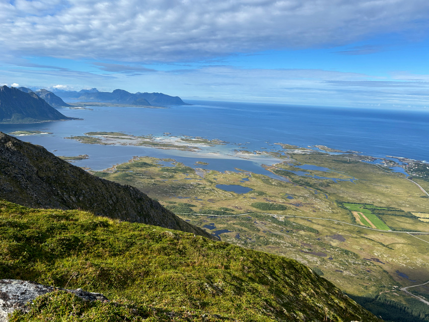
The Matmora hike is a "can't miss" attraction on the Lofoten Islands. We had a nice sunny day for this hike, so there were clear skies in all directions. The conditions
meant we enjoyed fantastic views in all directions. There is a lot to see. The trail begins in a low forest, with an uphill path amongst the trees. There are two or three spots where the trail gives you glimpses
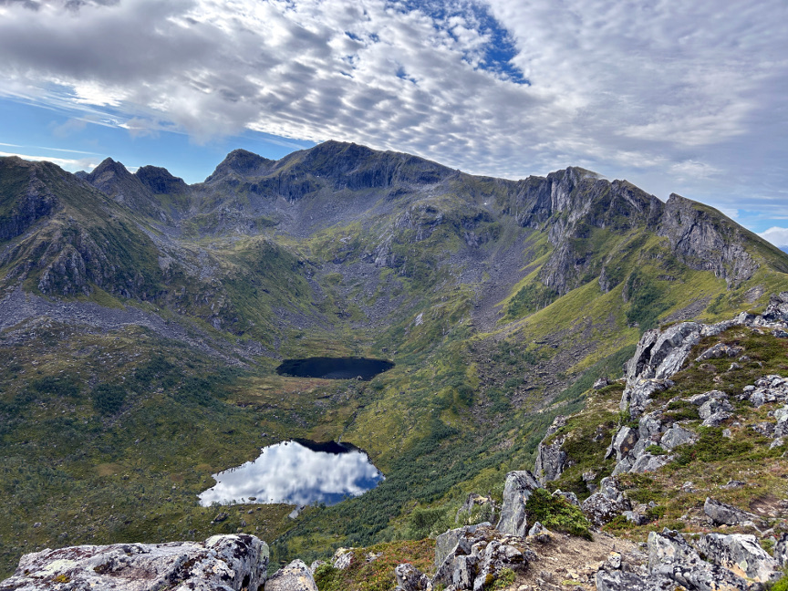
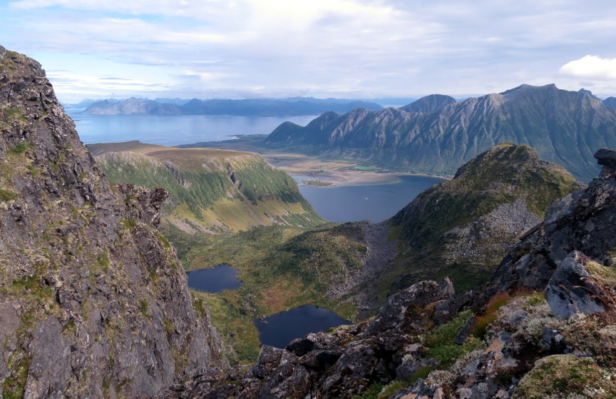
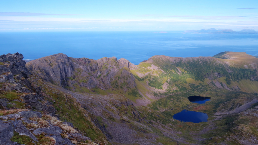
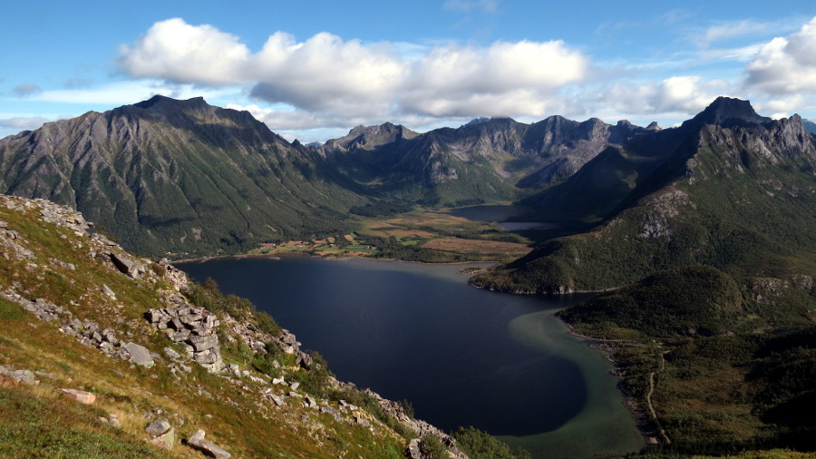
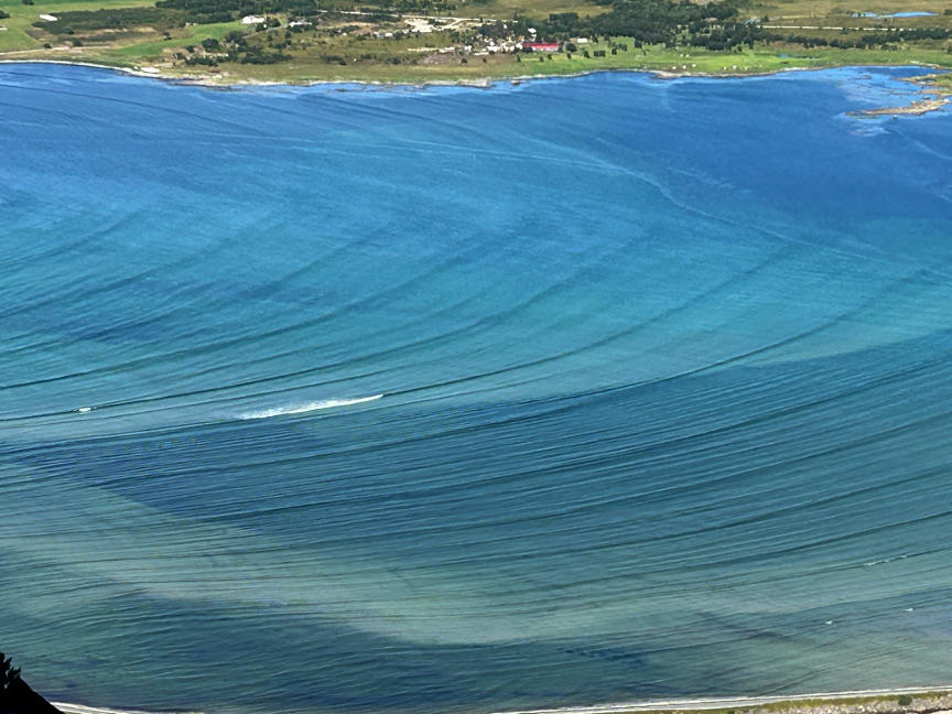
through the trees, but there isn't much visible until you reach Delpen, a low mountain with a fantastic view over shallow Grunnfřrfjorden. There is a causeway across the fjord. Mountains surround the fjord. There
are a couple of lakes draining into the fjord. We were there early enough in the morning that there was no wind, so we saw nice reflections of the mountains in the waters of the fjord. I took many pictures here.
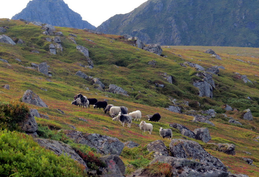
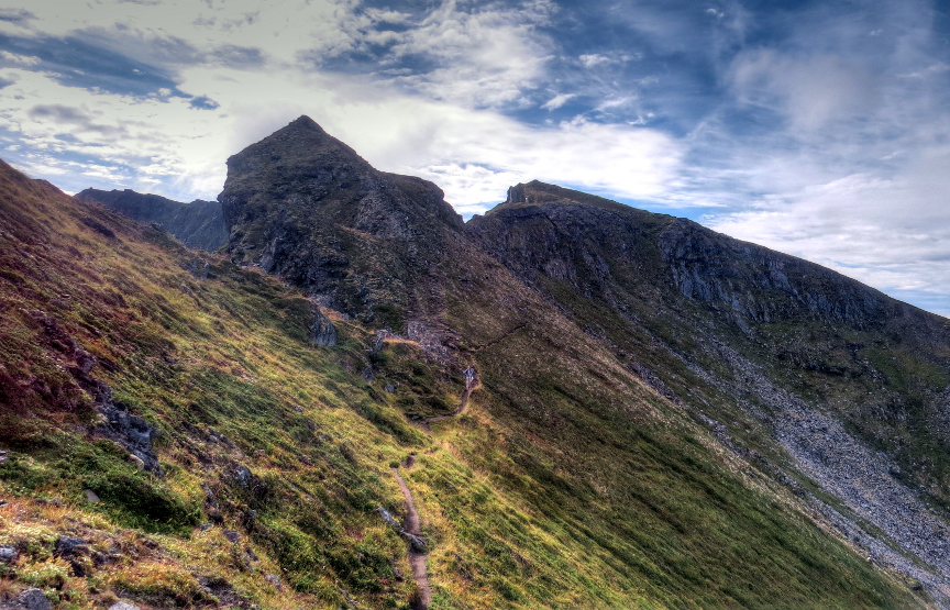
From Delpen, the trail marches across a broad plateau (populated with sheep). The summit of Matmora looks far away, but this hike isn't really that long. The trail hugs the spine
of a mountain ridge with three promontories. There are a few spots here where careful placement of your feet is necessary, but I think most hikers will power right through these areas without even noticing. This is
not a hike that requires hiking poles.
Once the rocky spine is conquered, Matmora is suddenly straight ahead, and easy to reach. There is a big cairn up there. We met a few other hikers at the top, including a couple who
had hiked up from the southern trailhead (a much steeper route than the northern path that we took) while carrying an infant in a backpack. I recommend the northern approach, it gives great views all along the way.