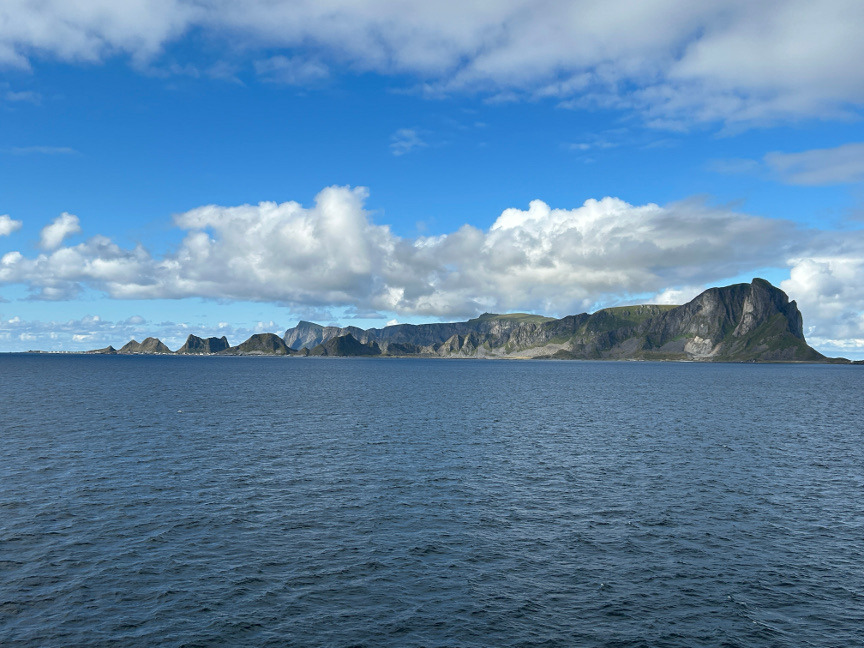
It requires some planning to do the Hĺen hike, which is located on the remote Vćrřy island. We caught the ferry from Moskenes that got us to the island at 10:15 AM. The ferry ride was free since we were pedestrians, but
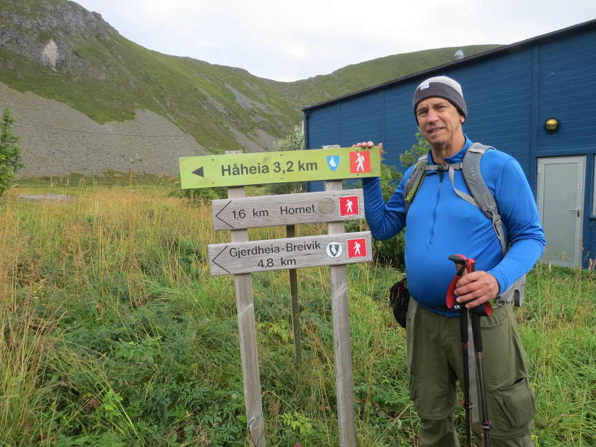
being on foot meant we had to walk a couple of kilometers through the town of Sřrland to reach the Hĺen trailhead. Anthony took off walking quickly ahead because he wanted to capture some specific light at the Hĺen summit; we followed at a more leisurely
pace.
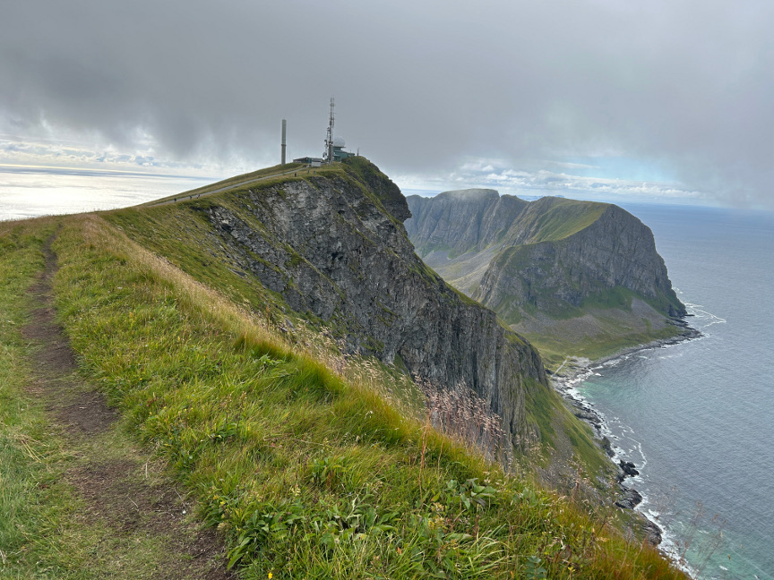
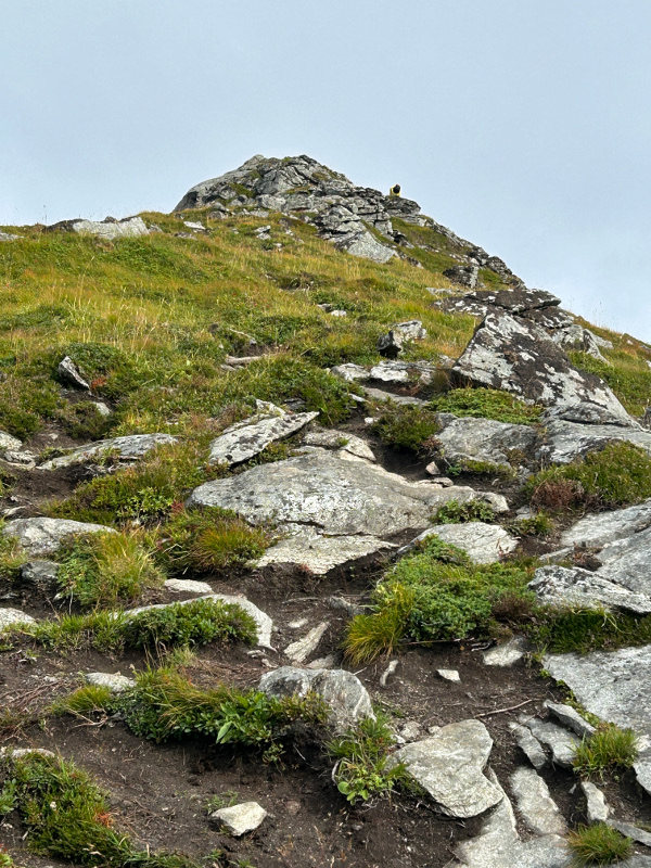
The hike up to Hĺen is not hard. There is a road much of the way to the top because there is a radar station built up there, just beside the viewpoint.
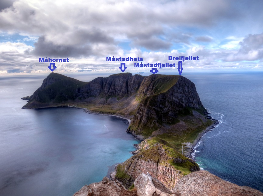
The view from Hĺen is indeed spectacular. There is a tremendous drop at the top. From the vantage point, the western half of Vćrřy stretches out below. Everyone took a lot of pictures, and then we ate lunch at there.
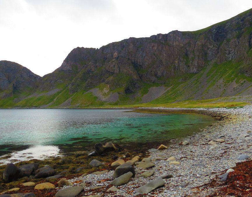
Leaving Hĺen, we walked along a spine over to Hornet. Hornet looks more intimidating than it actually easy. We climbed up the rocky path without much problem. The summit of Hornet gives different views of Vćrřy. We could
look eastward back at the main Lofoten Islands.
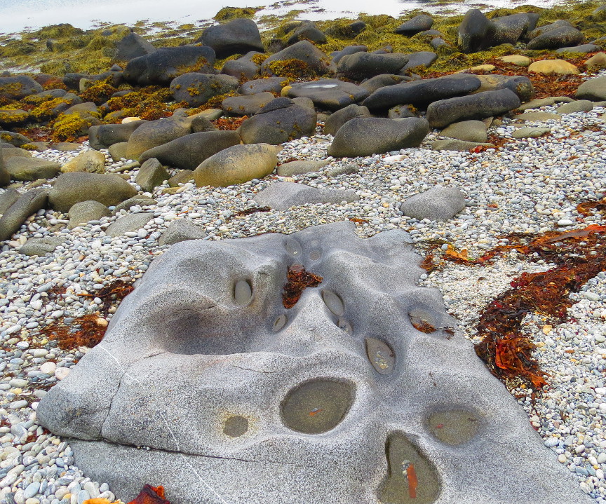
On our way back to the town of Sřrland, we took a side trip over to a pebbly beach called Hagsletta. A sign informed us that signs of Stone Age inhabitants were found here. Vćrřy Island seemed pretty remote to me - yes, it
visible on clear days from the rest of the Lofoten Islands, but it must have been a daring team of prehistoric humans to cross that much open water to reach the island. Maybe water levels were lower in that era.
It started to rain as we walked into Sřrland to patronize the only restaurant in town. Afterward, we had to wait a few hours, because the ferry that returned us to Moskenes did not arrive until 10:45 PM. We got back to our
rental cottage after midnight.