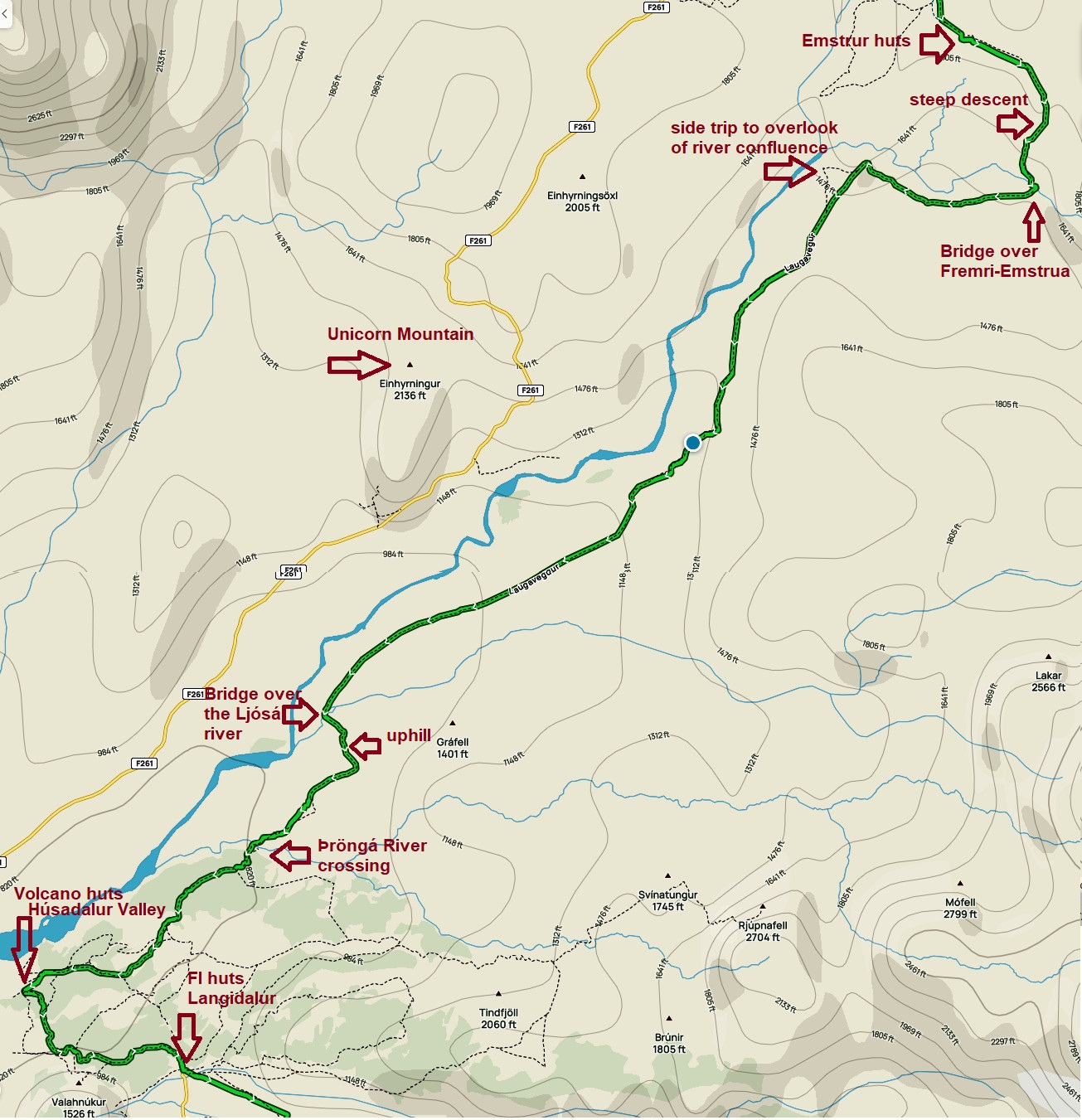
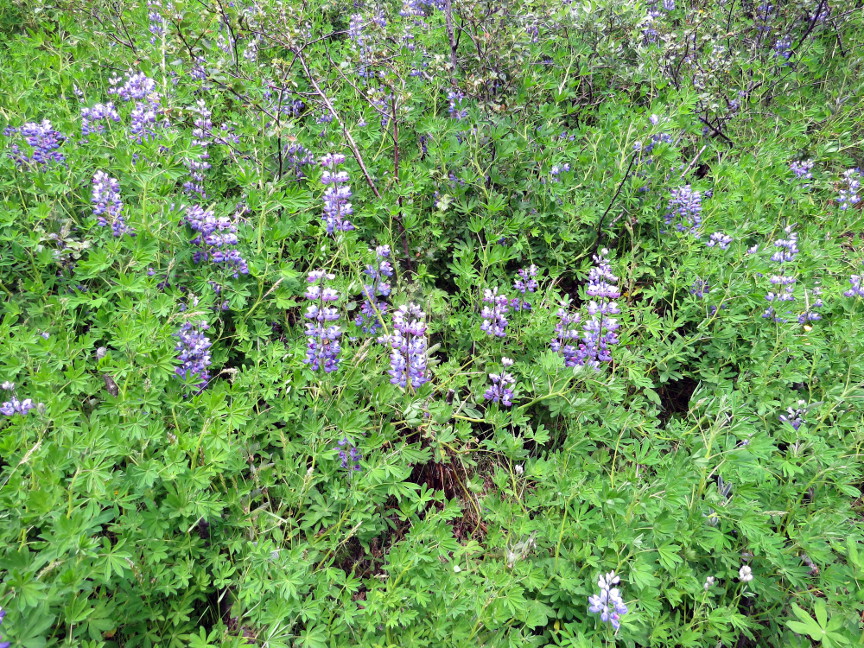
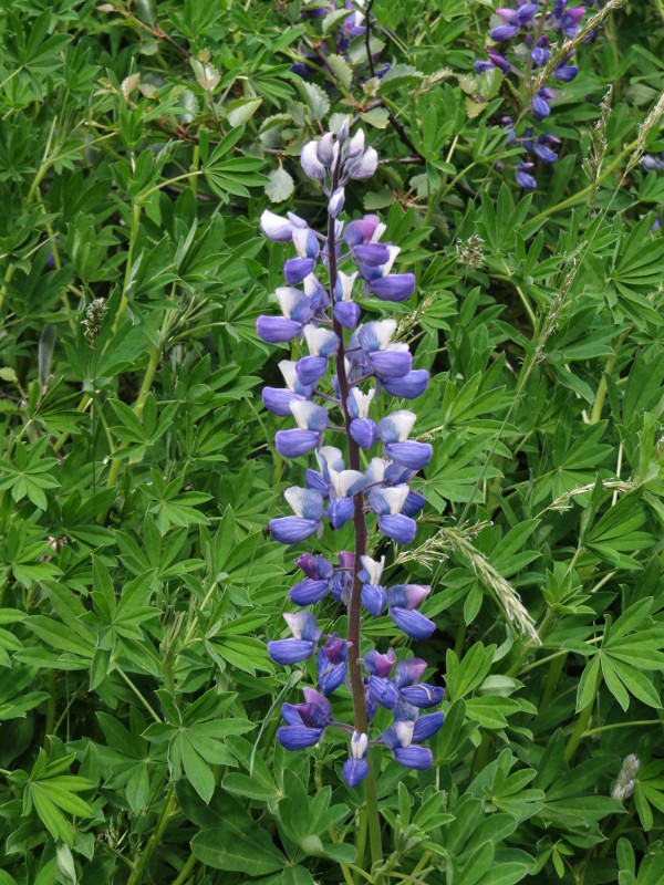
Melanie and I started at 8 AM on the 15 KM stage to Žórsmörk (Žórsmörk means Thor's Forest, and it really does have trees growing there. The beech trees grow tall enough that you cannot see over them. Vegetation of any sort seemed like a surprise after four days trekking through a volcanic landscape where seemingly the only flora is the brilliant green lichen).
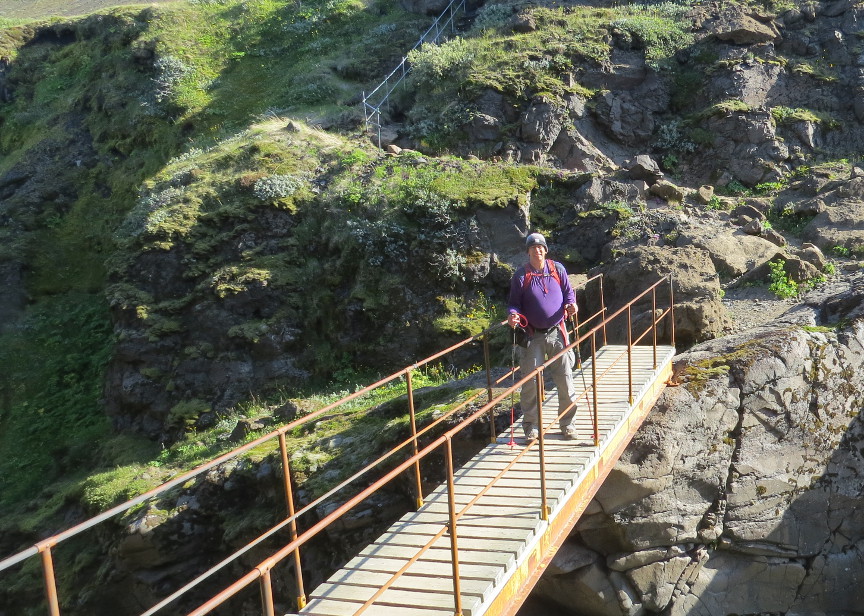
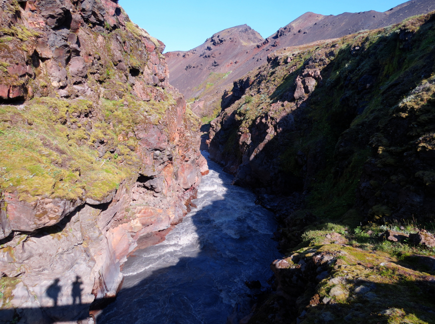
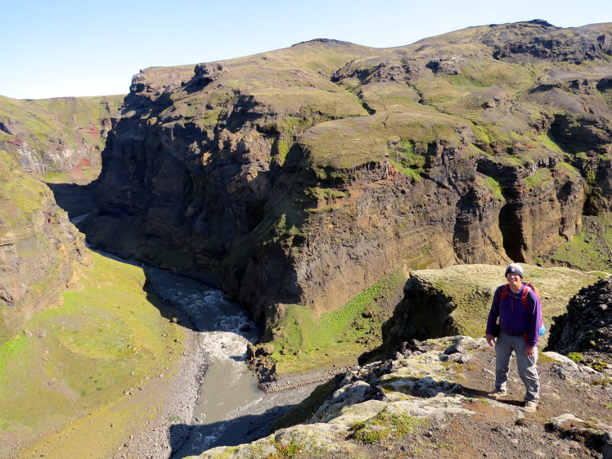
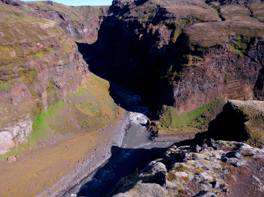
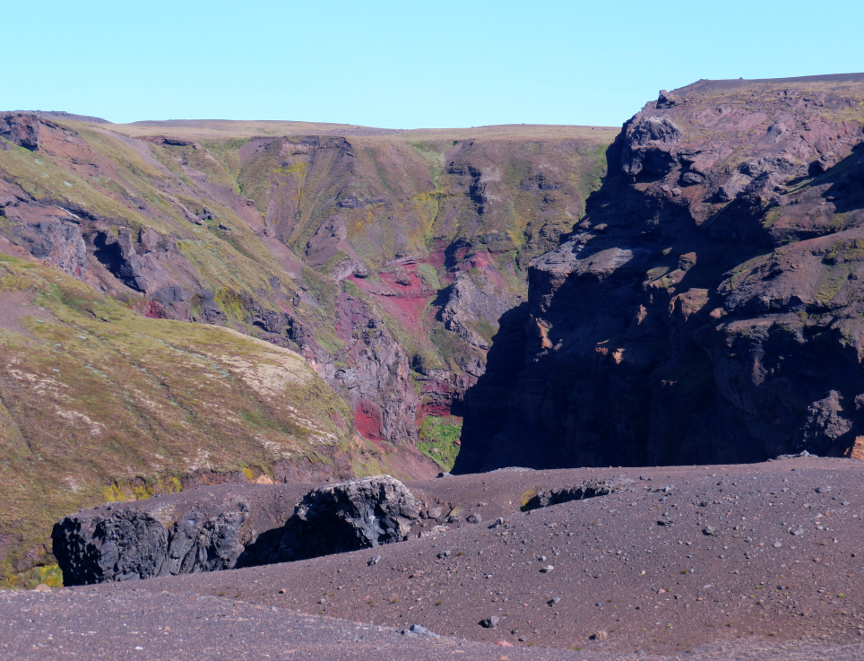
There is a small stream that can be stepped across immediately after leaving Emstrur. Then there is an unexpectedly steep downhill that took us down to the bridge over the Fremri-Emstruį river. We climbed back up the other side of the river valley and found ourselves on a broad flat plateau - this was the open area we had seen the previous evening when we did the side hike from Emstrur out to see the Markarfljótsgljśfur. We knew that there was a short side trail that led to an overlook of the confluence, so of course we took that extra distance and were rewarded with a nice view down into the gorge. The Fremri-Emstruį river merges into the Markarfljót. Our trail paralleled the Markarfljót for much of today's hiking.
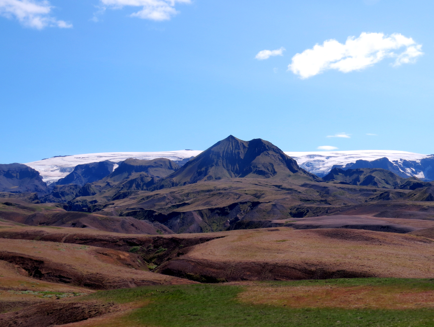
Because we had clear weather, all day we could see the big glaciers of Mżrdalsjökull and Eyjafjallajökull. I knew that the Fimmvöršuhįls trail went right between the two ice sheets, but I was unable to pick out where the trail exactly went up and over the mountain ridge.
Other than the Markarfljót river, the most significant geologic feature is Mt Einhyrningur, which has a rock spire that looks like a horn growing out its snout (and thus it is called Unicorn Mountain).
This stage doesn't have any long steep climbs, so it is an easy walk. The biggest obstacle on stage 4 is the crossing of the Žröngį river. We saw several online videos that told how the fast moving waters of the Žröngį were icy cold
and came up to the hips of the shorter hikers. But when we got to Žröngį, it was languidly flowing. It was no higher than midcalf when we waded across. Žórsmörk is a region rather than a specific location. The official Iceland tourist huts are at Langidalur; we stayed at the Volcano Huts, located at Hśsadalur. Note that the start of the Fimmvöršuhįls trail is at Basar, which is 6 KM distance from
the Volcano Huts. This means that the 24 KM distance to Skogafoss actually was 30 KM from our starting point. There is an interesting short hike from the Volcano huts up to Valahnśkur, which is one of the most notable and famous mountains in the beautiful Žórsmörk valley. However, I did not do this extra side trail, I figured I would save my legs for the
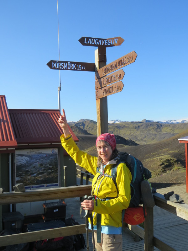
Fimmvöršuhįls trail - Melanie wanted to hike the entire length, all 30 KM, in one day. We would be starting early and hiking late! We did, however, take the short 1.2 KM walk from Hśsadalur to see the FI huts at Langidalur, and admire all the glaciers in the evening light. The Volcano huts at Žórsmörk are really nice. Showers are free, with unlimited water. We stayed in one of the sheep-herders cottages with Anthony and Anneka. The buffet dinner is marvelous! The fourth and final stage of the Laugavegur. At 15 Km, it is the longest of the four stages, but it is a varied and interesting scenic hike, with landmarks along the way.